Annapolis Royal in Annapolis County, Nova Scotia — The Atlantic Provinces (North America)
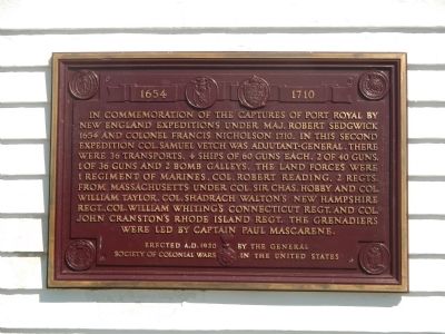
Captures of Port Royal
1654 (&) 1710
Erected 1930 by General Society of Colonial Wars in the United States.
Topics. This historical marker is listed in this topic list: War, French and Indian. A significant historical year for this entry is 1654.
Location. 44° 44.498′ N, 65° 31.11′ W. Marker is in Annapolis Royal, Nova Scotia, in Annapolis County. Marker can be reached from St. George Street close to St. Anthony Street, on the left when traveling west. Touch for map. Marker is at or near this postal address: 323 St George Street, Annapolis Royal NS B0S, Canada. Touch for directions.
Other nearby markers. At least 8 other markers are within walking distance of this marker. Daniel Auger de Subercase (here, next to this marker); Duvivier Attack (within shouting distance of this marker); Fort Anne, a Bastioned Fort (within shouting distance of this marker); Cemeteries (about 90 meters away, measured in a direct line); The Black Hole / Le cachot (about 90 meters away); The Flag Bastion (about 90 meters away); Queen’s Wharf (about 90 meters away); Sieur de Monts (about 120 meters away). Touch for a list and map of all markers in Annapolis Royal.
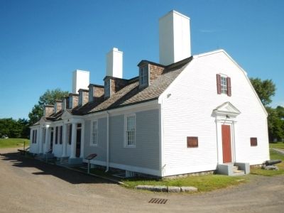
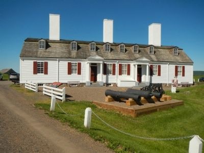
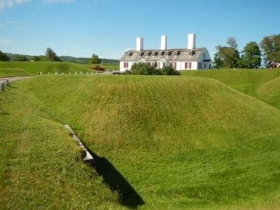
More about this marker. This marker is on the grounds of Fort Anne National Historic Site.
Also see . . .
1. Battle of Port Royal (1690) - Wikipedia. The Battle of Port Royal (19 May 1690) occurred at Port Royal, the capital of Acadia, during King William's War. A large force of New England provincial militia arrived before Port Royal. The Governor of Acadia Louis-Alexandre des Friches de Menneval had only 70 soldiers... Any resistance therefore appeared useless. Meneval surrendered without resistance not long after the New Englanders arrived. (Submitted on November 1, 2014, by Barry Swackhamer of Brentwood, California.)
2. Siege of Port Royal (1710) - Wikipedia. The Siege of Port Royal (5 – 13 October 1710),
also known as the Conquest of Acadia, was conducted by British regular and provincial forces under the command of Francis Nicholson against a French Acadian garrison and the Wabanaki Confederacy under the command of Daniel d'Auger de Subercase, at the Acadian capital, Port Royal. The successful British siege marked the beginning of permanent British control over the peninsular portion of Acadia, which they renamed Nova Scotia. (Submitted on November 1, 2014, by Barry Swackhamer of Brentwood, California.)
Credits. This page was last revised on June 16, 2016. It was originally submitted on November 1, 2014, by Barry Swackhamer of Brentwood, California. This page has been viewed 656 times since then and 16 times this year. Photos: 1, 2, 3, 4. submitted on November 1, 2014, by Barry Swackhamer of Brentwood, California. • Andrew Ruppenstein was the editor who published this page.


