Near Needles in San Bernardino County, California — The American West (Pacific Coastal)
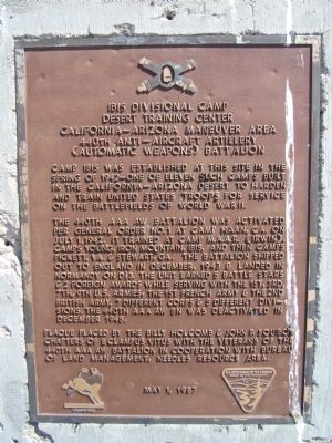
Ibis Divisional Camp - Desert Training Center
California – Arizona Maneuver Area
— 440th Anti – Aircraft Artillery - (Automatic Weapons) Battalion —
The 440th AAA AW Battalion was activated per General Order No. 1 at Camp Haan, CA, on July 1, 1942. It trained at Camp M.S.S.R. (Irwin), Camps Young, Iron Mountain, Ibis, and then Camps Pickett, VA. & Stewart, GA. The battalion shipped out to England in December, 1943 & landed in Normandy on D+3. The unit earned 5 battle stars & 2 Foreign Awards while serving with the 1st, 3rd, 7th, 9th U.S. Armies, the 1st French Army & the 2nd British Army, 7 different corps & 5 different divisions. The 440th AAA AW BN was deactivated in December 1945.
Erected 1987 by Billy Holcomb & John P. Squibob Chapters of E Clampus Vitus with the Veterans of the 440th AAA AW Battalion in Cooperation with Bureau of Land Management, Needles Resource Area. (Marker Number 44.)
Topics and series. This historical marker is listed in these topic lists: Military • War, World II. In addition, it is included in the Desert Training Center, and the E Clampus Vitus series lists. A significant historical month for this entry is July 1922.
Location. 34° 58.171′ N, 114° 49.959′ W. Marker is near Needles, California, in San Bernardino County. Marker is on U.S. 95 at milepost 66,, 10 miles north of Interstate 40, on the right when traveling north. Starting about 9.3 miles east of Needles, at the junction of I-40 and US 95, go north on US 95 about 6 1/4 miles to Arrowhead Junction. Continue north on US 95 about 2 miles. Touch for map. Marker is in this post office area: Needles CA 92363, United States of America. Touch for directions.
Other nearby markers. At least 8 other markers are within 15 miles of this marker, measured as the crow flies. Von Schmidt State Boundary Monument (approx. 10.2 miles away); a different marker also named Von Schmidt State Boundary Monument (approx. 10.2 miles away); History of the Fort Mojave Tribe (approx. 11.2 miles away in Nevada); Fort Pah-Ute (approx. 13.2 miles away); The Garcés Expedition (approx. 14 miles away in Nevada); 9/11 Arizona Heroes Memorial (approx. 14.1 miles away in Arizona); In Memory of All Vietnam Veterans (approx. 14.2 miles away in Arizona); Arizona Medal of Honor (approx. 14.2 miles away in Arizona). Touch for a list and map of all markers in Needles.
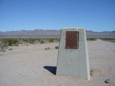
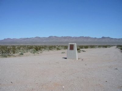
More about this marker. Camp Ibis was located on both sides of what is now US 95 and was over two miles long. East of the highway are the best preserved evidence of the camp's roads, rock alignments and rock designs left by various units who trained here.
SOURCE: Billy Holcomb Chapter 1069 35th Anniversary Plaque Book by Phillip Holdaway
Related markers. Click here for a list of markers that are related to this marker. Additional markers detailing the Desert Maneuver Center where mapping the markers shows the scope and scale of the training area.
Credits. This page was last revised on June 16, 2016. It was originally submitted on March 28, 2010, by Bill Kirchner of Tucson, Arizona. This page has been viewed 2,161 times since then and 72 times this year. Last updated on November 3, 2014, by Michael Kindig of Elk Grove, California. Photos: 1, 2, 3. submitted on March 28, 2010, by Bill Kirchner of Tucson, Arizona. • Bill Pfingsten was the editor who published this page.


