Near Baker in San Bernardino County, California — The American West (Pacific Coastal)
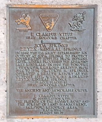
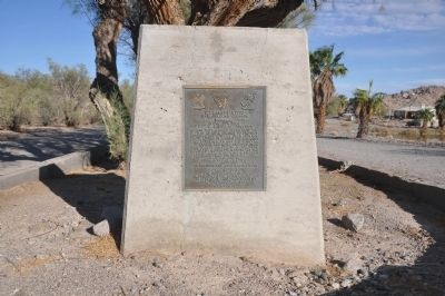
Soda Springs - Zzyzx Mineral Springs
Erected 1984 by Billy Holcomb Chapter No. 1069 E Clampus Vitus; Friends of the Mojave Road; and Bureau of Land Management Barstow Resource Area. (Marker Number 34.)
Topics and series. This historical marker is listed in these topic lists: Forts and Castles • Industry & Commerce • Railroads & Streetcars. In addition, it is included in the E Clampus Vitus, and the Mojave Road (Old Government Road) series lists. A significant historical year for this entry is 1860.
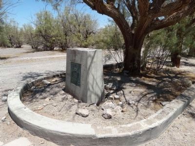
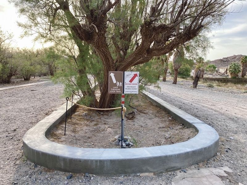
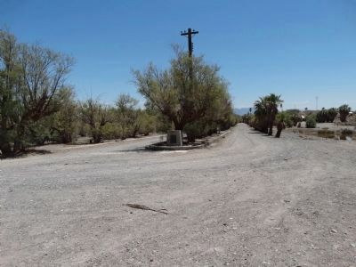
Location. 35° 8.596′ N, 116° 6.362′ W. Marker is near Baker, California, in San Bernardino County. Marker can be reached from Zzyzx Road, 5 miles south of Interstate 15. Note: This marker was removed by the National Park Service because it had inaccurate information. Touch for map. Marker is in this post office area: Boron CA 93516, United States of America. Touch for directions.
Other nearby markers. At least 7 other markers are within 10 miles of this marker, measured as the crow flies. Zzyzx Mineral Springs Resort (within shouting distance of this marker); The Desert Studies Center (about 600 feet away, measured in a direct line); A Traveler's Rest (about 700 feet away); A Lost Lake (approx. 0.2 miles away); Francis Marion "Borax" Smith (approx. 3.9 miles away); World’s Tallest Thermometer (approx. 8.7 miles away); Marl Springs / Seventeenmile Point (approx. 9.3 miles away).
More about this marker. This marker was removed by the National Park Service because it had inaccurate information.
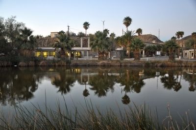
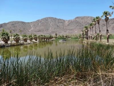
Regarding Soda Springs - Zzyzx Mineral Springs. The Indians had used Soda Springs as a stop on their trading route from the Colorado River to the Pacific Ocean. In 1885 this site was also known as Shenandoah Camp and a miner was working a 12 foot shaft just southwest of the springs. A consortium of colleges now own and operate Soda Springs as a center for desert studies.
SOURCE: Billy Holcomb Chapter 1069 35th Anniversary Plaque Book by Phillip Holdaway
Also see . . .
1. Mojave National Preserve. A short history of the Preserve and the area. (Submitted on December 15, 2011.)
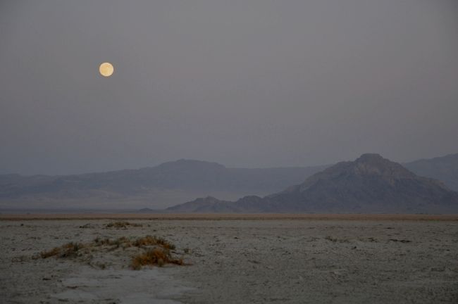
2. Zzyzx Mineral Springs. Near the mouth of the Mojave River, where the intermittant waters seep into Soda Lake, a mineral spring wells up near a basalt outcropping. Father Francisco Garces passed through this place, Soda Springs in his journey through the Mojave desert. Over 50 years later, Jedediah Smith passed south of the springs up into Afton Canyon (he instructed his Mohave indian guide to take him the most direct route) on his excursion. In the 1860s, the US Army used this spot as the location of Fort Soda Springs. (Submitted on December 15, 2011.)
3. Zzyzx, Calfornia. Wikipedia entry. (Submitted on December 15, 2011.)
Credits. This page was last revised on April 25, 2023. It was originally submitted on December 10, 2011, by Michael Kindig of Elk Grove, California. This page has been viewed 2,451 times since then and 66 times this year. Last updated on November 3, 2014, by Michael Kindig of Elk Grove, California. Photos: 1, 2. submitted on December 10, 2011, by Michael Kindig of Elk Grove, California. 3. submitted on May 19, 2015, by Denise Boose of Tehachapi, California. 4. submitted on April 25, 2023, by Craig Baker of Sylmar, California. 5. submitted on May 19, 2015, by Denise Boose of Tehachapi, California. 6, 7. submitted on December 10, 2011, by Michael Kindig of Elk Grove, California. 8. submitted on May 22, 2015, by Denise Boose of Tehachapi, California. • Bill Pfingsten was the editor who published this page.
