Marker Logo HMdb.org THE HISTORICAL
MARKER DATABASE
“Bite-Size Bits of Local, National, and Global History”
Colerain Township near Cincinnati in Hamilton County, Ohio — The American Midwest (Great Lakes)
 

Dunlap's Station

Frontier Outpost in Hamilton County, Ohio

— Site of Seige in 1791 —


Dunlap's Station Marker image. Click for full size.
Photographed By Rev. Ronald Irick, October 13, 2014
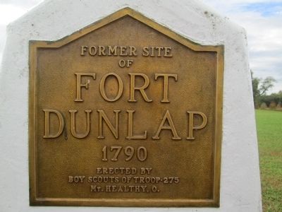
1. Dunlap's Station Marker
close up of text
Inscription. former site of Fort Dunlap 1790 erected by Boy Scout Troop 275 Mt. Healthy, Ohio
 
Erected by Boy Scout Troop 275.
 
Topics. This historical marker is listed in this topic list: Wars, US Indian. A significant historical year for this entry is 1790.
 
Location. 39° 17.571′ N, 84° 39.219′ W. Marker is near Cincinnati, Ohio, in Hamilton County. It is in Colerain Township. Marker is on East Miami River road, on the left when traveling north. Marker is on the driveway of Heritage Park, just off East Miami River Road. It is across the river, and about 1 mile southwest of Ross, Ohio. Touch for map. Marker is at or near this postal address: 11457 E Miami River Rd, Cincinnati OH 45252, United States of America. Touch for directions.
 
Other nearby markers. At least 8 other markers are within 6 miles of this marker, measured as the crow flies. Former Site of Fort Dunlap (here, next to this marker); Greg Snyder (approx. 0.2 miles away); The First Link (approx. 1.6 miles away); Paddy's Run (approx. 4 miles away); Miami Chapel Cemetery / Fair Play (approx. 4.2 miles away); Bevis (approx. 4.3 miles away); Founding Members of the Morgan Township Fire Department (approx. 5.7 miles away); Morgan's First Skirmish in Ohio (approx. 5.9 miles away). Touch for a list and map of all markers in Cincinnati.
 
Paid Advertisement
Click on the ad for more information.
Please report objectionable advertising to the Editor.
Click or scan to see
this page online
Dunlap's Station Marker image. Click for full size.
Photographed By Rev. Ronald Irick, October 13, 2014
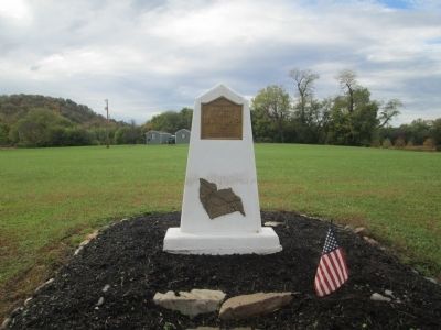
2. Dunlap's Station Marker
full view of marker
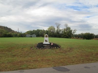
Fort Dunlap's Site image. Click for full size.
Photographed By Rev. Ronald Irick, October 13, 2014
3. Fort Dunlap's Site
marker, looking south from Heritage Park driveway
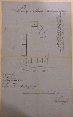
Plan of Dunlap's Station image. Click for full size.
Photographed By Rev. Ronald Irick
4. Plan of Dunlap's Station
archived
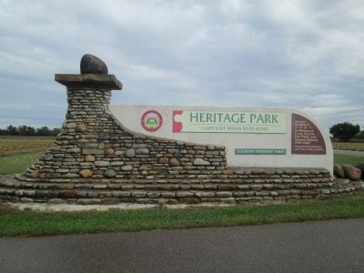
Heritage Park Gateway image. Click for full size.
Photographed By Rev. Ronald Irick, October 13, 2014
5. Heritage Park Gateway
entrance to park, off East Miami River Road Fort Dunlap marker is just inside gate, to the left
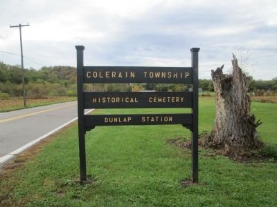
Dunlap's Station Sign image. Click for full size.
Photographed By Rev. Ronald Irick, October 13, 2014
6. Dunlap's Station Sign
Dunlap's Station Cemetery image. Click for full size.
Photographed By Rev. Ronald Irick, October 13, 2014
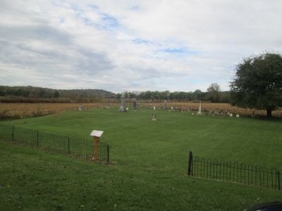
7. Dunlap's Station Cemetery
adjacent to Fort site. again, hats off to the Boy Scouts for the work they do
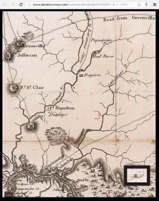
Map of Great Miami River area image. Click for full size.
Photographed By Rev. Ronald Irick
8. Map of Great Miami River area
archived
 
 
Credits. This page was last revised on February 6, 2023. It was originally submitted on November 4, 2014, by Rev. Ronald Irick of West Liberty, Ohio. This page has been viewed 958 times since then and 63 times this year. Photos:   1, 2, 3, 4, 5, 6, 7, 8. submitted on November 4, 2014, by Rev. Ronald Irick of West Liberty, Ohio. • Al Wolf was the editor who published this page.
Share this page.  
Share on Tumblr
m=78622

CeraNet Cloud Computing sponsors the Historical Marker Database.
This website earns income from purchases you make after using our links to Amazon.com. We appreciate your support.
Paid Advertisement
Apr. 17, 2024