Towson in Baltimore County, Maryland — The American Northeast (Mid-Atlantic)
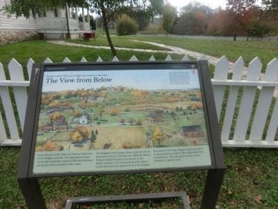
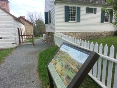
The View from Below
Hampton National Historic Site
The Hampton Farm, as it might have looked ca. 1850-1870
From this part of the farm, you have an ideal view of the Ridgely mansion. The imposing structure on the hill would have inspired different emotions among the various people on the estate.
The Ridgelys owned many farms, scattered across thousands of acres. This site was called the Home Farm probably because it was closest to the family residence. The crops and animals raised on this land directly supported life in the Ridgely household. Over time, Ridgely lands were given to descendants or sold to other individuals who worked them. This site preserves the core of Hampton’s agrarian past.
[Caption:]
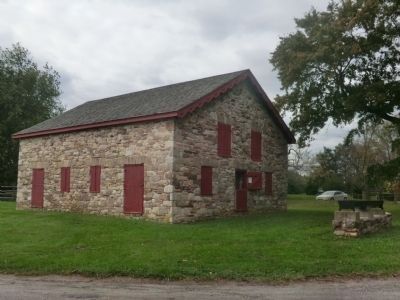
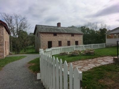
Many buildings at the Home Farm have been lost, however, a number remain. Surviving structures include the Lower House, Dairy, Corn Crib (foundation only) Mule Barn, Long House Granary, Slave and Tenant Farmers’ Quarters, and Ash House.
Erected by National Park Service-United States Department of the Interior.
Topics. This historical marker is listed in these topic lists: Colonial Era • Patriots & Patriotism • Settlements & Settlers.
Location. 39° 25.248′ N, 76° 35.184′ W. Marker is in Towson, Maryland, in Baltimore County. Marker is on Hampton Lane. Touch for map. Marker is at or near this postal address: 535 Hampton Lane, Towson MD 21286, United States of America. Touch for directions.
Other nearby markers. At least 8 other markers are within walking distance of this marker. The Lower House (here, next to this marker); Quarters #2 & 3 (within shouting distance of this marker); A Slave Village (within shouting distance of this marker); Hampton: An American Story (within shouting distance of this marker); Corn Culture (within shouting distance of this marker); The Cream of Hampton (about 300 feet away, measured in a direct line); Thoroughbreds at Hampton (approx. 0.2 miles away); a different marker also named Hampton: An American Story (approx. 0.3 miles away). Touch for a list and map of all markers in Towson.
Credits. This page was last revised on March 21, 2023. It was originally submitted on November 6, 2014, by Don Morfe of Baltimore, Maryland. This page has been viewed 515 times since then and 11 times this year. Last updated on December 23, 2021, by Carl Gordon Moore Jr. of North East, Maryland. Photos: 1, 2, 3, 4. submitted on November 6, 2014, by Don Morfe of Baltimore, Maryland. • Bill Pfingsten was the editor who published this page.


