Near Fish Creek in Door County, Wisconsin — The American Midwest (Great Lakes)
A State Park System is Formed
Peninsula Leads the Way
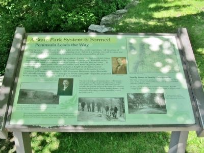
Reynolds, a Jacksonport farmer, did not act alone. Landscape Architect John Nolen described the beauty of Peninsula to the Wisconsin Legislature: "It is wild and as yet unspoiled, with alternating interests of woodland and cliff, bay and land ... It sweeps from point to point, here a beach of fine sand, there of gravel, then in contrast precipitous limestone bluffs, rising to a height of a hundred feet or more ... It is no exaggeration to say that the broad beauty of the scenery is not surpassed in Wisconsin." On June 9, 1909, Governor Davidson signed Reynolds' bill, officially creating a system of state parks. Of the four parks originally proposed for the system, Peninsula was the first to be established.
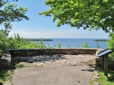
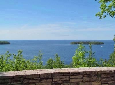
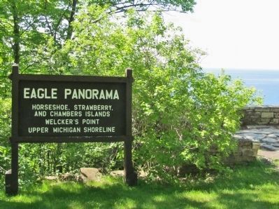
The view from Eagle Panorama hints of Peninsula's storied past. Cedar, maple and beech trees extend over 3,776 acres. An adjacent, cliff-strewn shore unfolds. But in 1909, much of the forest was cut-over for farms and orchards. Rustic fishing shanties, with easy access to passing wooden schooners, dotted the coast below.
Family Farms to Family Campgrounds
The State of Wisconsin purchased most parcels for $5-266 an acre. Some people retained life leases, an arrangement that officially ended in 1964.
In 1914, it cost $5 to pitch a tent for the season. By 1940, camping fees increased to 25 cents per night or $1 per week.
Topics and series. This historical marker is listed in this topic list: Notable Places. In addition, it is included in the Civilian Conservation Corps (CCC) series list. A significant historical date for this entry is June 9, 1909.
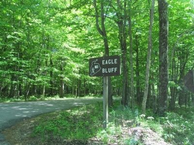
Location. 45° 9.726′ N, 87° 12.11′ W. Marker is near Fish Creek, Wisconsin, in Door County. Marker can be reached from Shore Road, 0.2 miles north of Skyline Road, on the left when traveling north. Marker is located at Eagle Bluff / Eagle Panorama parking area in Peninsula State Park. Fee area; a vehicle admission sticker is required. Touch for map. Marker is at or near this postal address: 9462 Shore Road, Fish Creek WI 54212, United States of America. Touch for directions.
Other nearby markers. At least 8 other markers are within walking distance of this marker. Albert E. Doolittle (here, next to this marker); A Tough Tree (approx. 0.2 miles away); Life on the Ledge (approx. 0.2 miles away); Looking Back (approx. 0.2 miles away); Shaped by Water (approx. 0.2 miles away); Shipwrecked! (approx. 0.2 miles away); Late Bloomer (approx. ¼ mile away); Cold Cure (approx. 0.3 miles away). Touch for a list and map of all markers in Fish Creek.
More about this marker. captions:
• John Nolen
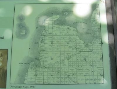
• Ownership Map, 1899
• A.E. Doolittle, Peninsula State Park Superintendent, 1913-1943.
• View of Nicolet Bay in the early years. Ole Larson's farm, later the site of Wisconsin's first state game farm, is in the upper left. Welcker's Point is on the horizon.
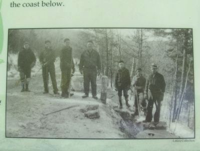
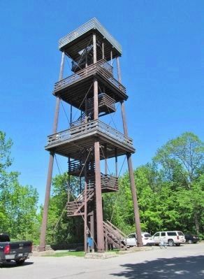
• The Civilian Conservation Corps, a Depression-era work group, constructed this overlook from native limestone. In this photo, C-men lower rocks for the stone wall that borders the road leading up to Eagle Tower. Circa 1935.
• Litkea Collection
• A Hudson auto is parked on the right side of Nicolet
Bay Campground. Circa 1942.
Also see . . .
1. Peninsula State Park. Wisconsin Department of Natural Resources. (Submitted on November 20, 2014.)
2. List of Wisconsin state parks. Wikipedia entry. (Submitted on November 20, 2014.)
3. John Nolen. Wikipedia entry. (Submitted on November 20, 2014.)
Photographed By K. Linzmeier, June 8, 2014
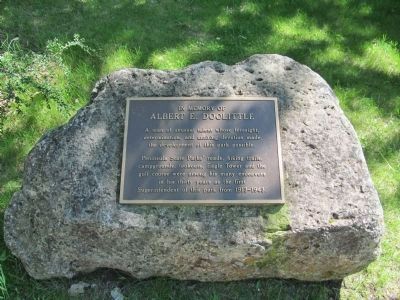
8. Nearby Plaque
Albert E. Doolittle
A man of unusual talent whose foresight,
determination, and untiring devotion made
the development of this park possible.
Peninsula State Parks' roads, hiking trails,
campgrounds, lookouts, Eagle Tower and the
golf course were among his many endeavors
in his thirty years as the first
Superintendent of this park from 1913-1943.
Credits. This page was last revised on June 16, 2016. It was originally submitted on November 20, 2014, by Keith L of Wisconsin Rapids, Wisconsin. This page has been viewed 473 times since then and 15 times this year. Photos: 1, 2, 3, 4, 5, 6, 7, 8, 9. submitted on November 20, 2014, by Keith L of Wisconsin Rapids, Wisconsin.
