Waynesboro in Burke County, Georgia — The American South (South Atlantic)
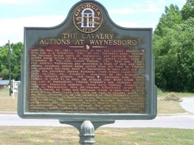
The Cavalry Actions at Waynesboro
Late on Nov. 26, 1864, elements of the 3rd Cavalry Division (USA), Brig. Gen. J.L. Kilpatrick, USA, of Gen. Sherman's army, reached the railroad bridge north of Waynesboro and partially burned it before being driven off by troops of the Cavalry Corps, Army of Tennessee (CSA), Maj. Gen. Joseph Wheeler, CSA. Next day, Kilpatrick entered Waynesboro and destroyed a train of cars and much private property before being driven from the town by Wheeler, who attacked his camp south of Waynesboro at dawn next day and drove him southwest beyond Buckhead Creek toward Louisville.
Early on Dec. 4th, Kilpatrick, supported by two brigades of Baird`s infantry division, 14th Corps (USA), advanced from Thomas' Station (6 miles S) to burn the bridges over Brier Creek north and east of Waynesboro. Finding Wheeler's men deployed astride the road, Kilpatrick attacked. After hard fighting, Wheeler retired to Waynesboro. Here he checked Kilpatrick's larger force with a charge by Texas and Tennessee troops to gain time to withdraw across Brier Creek and block the road to Augusta, which, at the time, appeared to be the objective of Gen. Sherman's army.
At Brier Creek, Kilpatrick burned the rail and wagon bridges and withdrew. The supporting infantry brigades marched toward Jacksonboro and rejoined the rest of Baird's division, encamped at Alexander. They were followed that evening by Kilpatrick's command, which camped at Old Church on the old Quaker Road.
Erected 1958 by Georgia Historical Commission. (Marker Number 017-16.)
Topics and series. This historical marker is listed in this topic list: War, US Civil. In addition, it is included in the Georgia Historical Society, and the Sherman’s March to the Sea series lists. A significant historical month for this entry is October 1698.
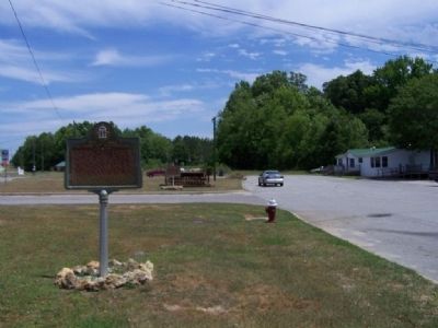
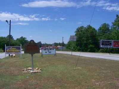
Location. 33° 4.739′ N, 82° 0.473′ W. Marker is in Waynesboro, Georgia, in Burke County. Marker is at the intersection of South Liberty Street (U.S. 25) and State Highway 24 on South Liberty Street. Touch for map. Marker is in this post office area: Waynesboro GA 30830, United States of America. Touch for directions.
Other nearby markers. At least 8 other markers are within walking distance of this marker. Old Quaker Road (within shouting distance of this marker); Colonels Twiggs and Few (within shouting distance of this marker); The Shadows (approx. 0.8 miles away); The J.D. Roberts Home (approx. 0.8 miles away); To Honor George Washington (approx. 0.8 miles away); Waynesborough (approx. 0.9 miles away); Washington’s Southern Tour (approx. 0.9 miles away); Burke County Veterans Memorial (approx. 0.9 miles away). Touch for a list and map of all markers in Waynesboro.
Also see . . . Battle of Waynesboro, Georgia.
Wikipedia entry (Submitted on November 23, 2023, by Larry Gertner of New York, New York.)
Credits. This page was last revised on November 23, 2023. It was originally submitted on May 25, 2008, by Mike Stroud of Bluffton, South Carolina. This page has been viewed 2,057 times since then and 37 times this year. Photos: 1, 2, 3. submitted on May 25, 2008, by Mike Stroud of Bluffton, South Carolina. • Craig Swain was the editor who published this page.


