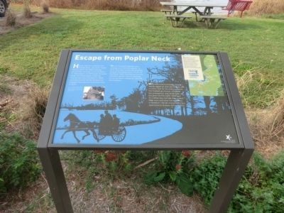
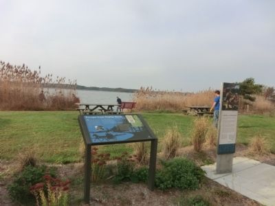
Escape from Poplar Neck
Harriet Tubman Underground Railroad Byway
Harriet Tubman’s parents, Rit and Ben Ross, moved to Poplar Neck in 1847. Her father worked as a lumber foreman on Dr. Anthony C. Thompson’s 2,200 heavily forested acres. Harriet probably made her first escape from this place in 1849, and she covertly led her brothers to freedom from here on Christmas Day in 1854.
Harriet Tubman’s parents were Underground Railroad agents. In 1857, they were suspected of aiding a group of escaped slaves, known as the Dover Eight. Fearing her parents’ imminent arrest, Harriet returned to rescue them, risking her own life and freedom.
With little time to prepare, Harriett hastily rigged an axle and wheels with a rickety seat for her elderly parents. She hooked up a horse, straddled the contraption, and raced them up the lane into the night. Settling in St. Catherines Canada, they joined their sons and other former slaves in freedom. Harriet moved them to a new home in Auburn, NY, in 1859.
Topics and series. This historical marker is listed in these topic lists: Abolition & Underground RR • African Americans. In addition, it is included in the Harriet Tubman Underground Railroad Byway series list. A significant historical year for this entry is 1847.
Location. 38° 40.89′ N, 75° 57.072′ W. Marker is in Preston, Maryland, in Caroline County. Marker
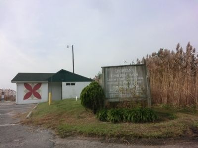
Other nearby markers. At least 8 other markers are within 4 miles of this marker, measured as the crow flies. Choptank Landing (here, next to this marker); The Maryland Lot (within shouting distance of this marker); Choptank (about 400 feet away, measured in a direct line); Mt. Pleasant Cemetery (approx. 3 miles away); Mt. Pleasant M. E. Church (approx. 3 miles away); Freedom (approx. 3.1 miles away); Preston (approx. 3.1 miles away); Site of Frazier’s Chapel (approx. 3.2 miles away). Touch for a list and map of all markers in Preston.
Credits. This page was last revised on September 5, 2022. It was originally submitted on November 26, 2014, by Don Morfe of Baltimore, Maryland. This page has been viewed 833 times since then and 78 times this year. Photos: 1, 2, 3. submitted on November 26, 2014, by Don Morfe of Baltimore, Maryland. • Bill Pfingsten was the editor who published this page.


