Occoquan in Prince William County, Virginia — The American South (Mid-Atlantic)
Occoquan
Bridge Between North and South
— Gettysburg Campaign —
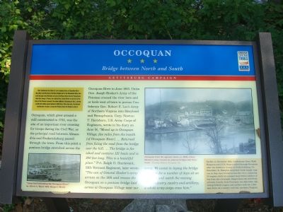
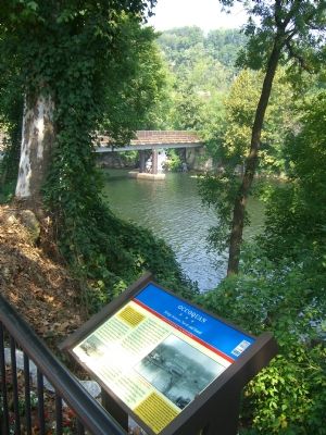
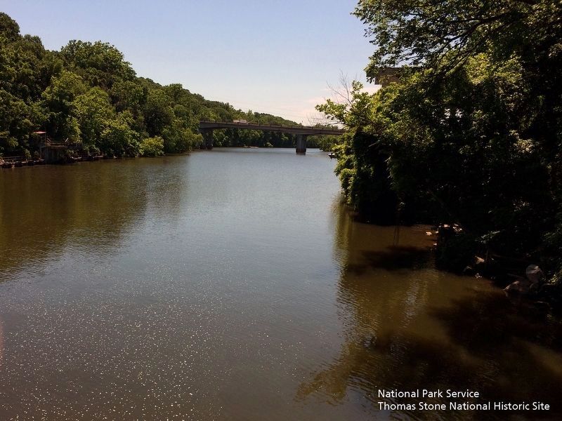
Occoquan, which grew around a mill constructed in 1755, was the site of an important river crossing for troops during the Civil War, as the principal road between Alexandria and Fredericksburg passed through the town. From this point a pontoon bridge stretched across the Occoquan River in June 1863. Union Gen. Joseph Hooker’s Army of the Potomac crossed the river here and at fords west of town to pursue Confederate Gen. Robert E. Lee’s Army of Northern Virginia into Maryland and Pennsylvania. Corp. Newton T. Hartshorn, U.S. Army Corps of Engineers, wrote in his diary on June 14, “Moved up to Occoquan Village, five miles from the mouth [of Occoquan River]. … Returned from fixing the road from the bridge over the hill. … The bridge is finished and contains 121 boats and is 300 feet long. This is a beautiful place.” Pvt. Ralph O. Sturtevant, 13th Vermont Regiment, later wrote: “The van of General Hooker’s army arrives on the 14th and crosses the Occoquan on a pontoon bridge laid across at Occoquan Village near our camp. We assist in laying the bridge and then for a number of days sit on the bank and watch the moving army, infantry, cavalry and artillery; a whole army corps cross here.”
(lower right sidebar) Earlier, in December 1862, Confederate Gens. Wade Hampton and J.E.B. Stuart raided through Occoquan after the Southern victory at Fredericksburg. On December 18, Hampton surprised Union supply wagons as they were ferried across the river, capturing 20 wagons while his troopers kept Union soldiers at bay from the riverbank. Stuart drove the 2nd Pennsylvania Cavalry from Occoquan ten days later, capturing Federal wagons and soldiers with his 1,200-man force on a cavalry raid into northern Virginia.
(caption under the small picture in the lower left) “Army beef swimming the Occoquan River,” by Alfred A. Waud, 1863, Harper’s Weekly
(caption under the large picture in the upper right) Occoquan from the opposite bank, ca. 1880s, where Hooker’s army crossed on pontoon bridges and ferryboats – Courtesy Historic Occoquan, Inc.
Erected
2007 by Civil War Trails.
Topics and series. This historical marker is listed in these topic lists: Bridges & Viaducts • War, US Civil • Waterways & Vessels. In addition, it is included in the Virginia Civil War Trails series list. A significant historical month for this entry is May 1863.
Location. 38° 41.135′ N, 77° 15.731′ W. Marker is in Occoquan, Virginia, in Prince William County. Marker is on Mill Street, on the right when traveling west. Marker is at the western end of Mill Street. Touch for map. Marker is in this post office area: Occoquan VA 22125, United States of America. Touch for directions.
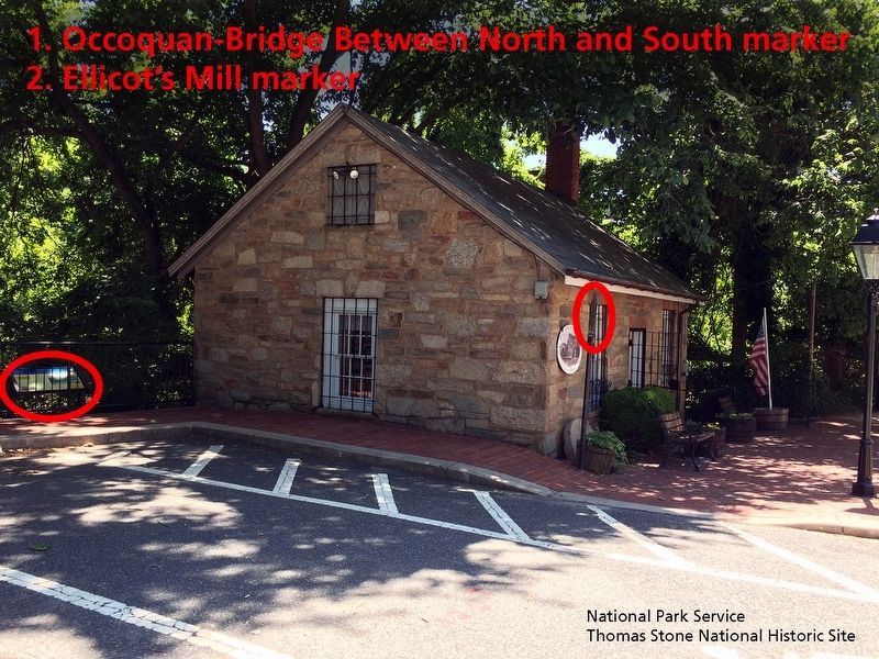
Other nearby markers. At least 8 other markers are within walking distance of this marker. Historic Occoquan (here, next to this marker); Gearwheel Assembly (here, next to this marker); a different marker also named Historic Occoquan (a few steps from this marker); Town of Occoquan (a few steps from this marker); Ellicott’s Mill (a few steps from this marker); The Dogue Indians (within shouting distance of this marker); Historic Carbide Bunker (within shouting distance of this marker); a different marker also named Historic Occoquan (within shouting distance of this marker). Touch for a list and map of all markers in Occoquan.
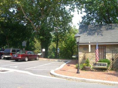
More about this marker. From Town of Occoquan’s Virginia 2007 Commemoration web site: “Civil War Trails is an effort by individuals and local governments to enhance understanding of the Civil War experience by interpreting and linking, where appropriate, previously uninterpreted and unconnected sites. There are some 400 Virginia Civil War Trails sites, ranging from thousands of acres to country crossroads. At the initiative of Dolores Elder and the sponsorship of Historic Occoquan, Inc., the Town of Occoquan was added as a Civil War Trails site in 2007. In June 2007, an interpretive marker was installed adjacent to the Mill House Museum on Mill Street describing the Confederate cavalry raids of December 1862 and the town’s subsequent role in the Gettysburg Campaign. Occoquan’s dedication of the marker was held on July 21st to coincide with the Virginia 2007 theme for the month of July, ‘Celebration of Liberty.’ The ceremony featured a presentation by Gary Elder on Civil War events that occurred in Occoquan and Civil War re-enactors from the 49th Virginia Infantry Regiment of Woodbridge.” (www.occoquan2007.com)
Also see . . .
1. .pdf version of this Marker. (Submitted on September 7, 2007, by Kevin W. of Stafford, Virginia.)
2. Pictures of Civil War Trails Program Marker Dedication -- July 21, 2007. (Submitted on September 7, 2007, by Kevin W. of Stafford, Virginia.)
3. Army beef swimming the Occoquan River. The 1863 Harper’s Weekly article where the Alfred A. Waud illustration was obtained for this marker. (Submitted on September 8, 2007, by Kevin W. of Stafford, Virginia.)
4. Historic Occoquan Self Guided Walking Tour. (Submitted on September 21, 2019.)
Credits. This page was last revised on September 24, 2019. It was originally submitted on September 7, 2007, by Kevin W. of Stafford, Virginia. This page has been viewed 3,256 times since then and 57 times this year. Last updated on May 26, 2008, by Earnie Porta of Occoquan, Virginia. It was the Marker of the Week September 30, 2007. Photos: 1, 2, 3. submitted on September 7, 2007, by Kevin W. of Stafford, Virginia. 4, 5. submitted on September 21, 2019.
