Lee Hall in Newport News, Virginia — The American South (Mid-Atlantic)
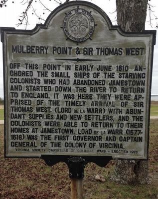
Mulberry Point & Sir Thomas West
Erected 1976 by Virginia Society Daughters of Colonial Wars and the Corporation of Newport News, Virginia.
Topics and series. This historical marker is listed in these topic lists: Colonial Era • Settlements & Settlers. In addition, it is included in the Daughters of Colonial Wars, and the Virginia, Corporation of Newport News series lists. A significant historical year for this entry is 1610.
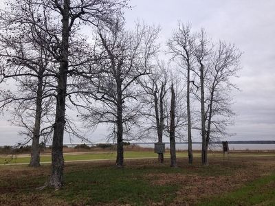
Location. 37° 8.47′ N, 76° 37.2′ W. Marker is in Newport News, Virginia. It is in Lee Hall. Marker is on Harrison Road. Touch for map. Marker is in this post office area: Fort Eustis VA 23604, United States of America. Touch for directions.
Other nearby markers. At least 8 other markers are within 3 miles of this marker, measured as the crow flies. Felker Army Airfield (approx. 0.9 miles away); John Rolfe (approx. 1.1 miles away); Matthew Jones House (approx. 1.6 miles away); a different marker also named Matthew Jones House (approx. 1.6 miles away); "Magnolia House" - Chief of Transportation's Quarters (approx. 1.9 miles away); Glebe Lands (approx. 2.7 miles away); YAC-1 / CV-2 / CV-7 Caribou (approx. 2.9 miles away); U-1A Otter (approx. 2.9 miles away). Touch for a list and map of all markers in Newport News.
Credits. This page was last revised on February 1, 2023. It was originally submitted on December 5, 2014. This page has been viewed 613 times since then and 27 times this year. Photos: 1, 2. submitted on January 7, 2016, by Kevin W. of Stafford, Virginia. • Kevin W. was the editor who published this page.

