Near Bridgeport in Morrill County, Nebraska — The American Midwest (Upper Plains)
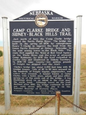
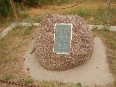
Camp Clarke Bridge and Sidney-Black Hills Trail
Inscription.
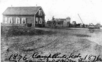
Just north of here the Camp Clarke bridge crossed the North Platte River. The bridge was built in the spring of 1876 by entrepreneur Henry T. Clarke to improve the trail from the Union Pacific Railroad at Sidney, Nebraska, to the gold mining towns in the Black Hills. The rout first supplied the Sioux at Red Cloud Agency on the White River and the army at adjacent Camp Robinson; by 1876 the trail extended to Custer City and Deadwood in Dakota Territory. In 1878-79 some twenty-two million pounds of freight was shipped over the trail.
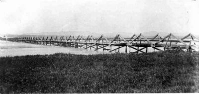
Clarke’s bridge was about 2,000 feet long with 61 wooden trusses. Tolls of $2 to $6 were assessed on the hundreds of freight wagons, stagecoaches, and riders that crossed. A hamlet known as Camp Clarke, with a hotel, store, saloon, and post office, sprang up at the south end of the bridge. A log blockhouse stood on an island in the river near the north bank. Although travel on the trail declined after 1880, the bridge continued in local use until about 1900. The site is on the National Register of Historic Places.
Erected by Morrill County Visitors Committee & Nebraska State Historical Society. (Marker Number 391.)
Topics and series. This historical marker is listed in these topic lists: Bridges & Viaducts • Roads & Vehicles. In addition, it is included in the Daughters of the American Revolution, and the Nebraska State Historical Society series lists. A significant historical year for this entry is 1876.
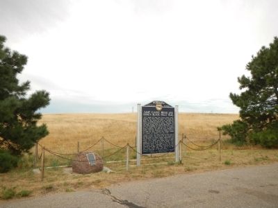
Location. 41° 40.224′ N, 103° 10.125′ W. Marker is near Bridgeport, Nebraska, in Morrill County. Marker is on U.S. 26, on the right when traveling west. Touch for map. Marker is in this post office area: Bridgeport NE 69336, United States of America. Touch for directions.
Other nearby markers. At least 8 other markers are within 6 miles of this marker, measured as the crow flies. Oregon Trail (approx. 1.1 miles away); Dedicated to the Unknown Soldier (approx. 1.2 miles away); Bridgeport, Nebraska (approx. 3.6 miles away); Dedicated to the Early Pioneers (approx. 3.6 miles away); a different marker also named Oregon Trail (approx. 3.7 miles away); Mormon Pioneer Camp (approx. 3.8 miles away); Guiding Landmarks (approx. 5.8 miles away); Courthouse and Jail Rocks (approx. 6 miles away). Touch for a list and map of all markers in Bridgeport.
More about this marker. This marker is approximately 3 miles west of Bridgeport on US 26.
Also see . . . Camp Clarke Bridge Site - Wikipedia. It was the only
reliable crossing between Fort Laramie and North Platte, Nebraska. (Submitted on December 6, 2014, by Barry Swackhamer of Brentwood, California.)
Credits. This page was last revised on June 16, 2016. It was originally submitted on December 6, 2014, by Barry Swackhamer of Brentwood, California. This page has been viewed 795 times since then and 48 times this year. Photos: 1, 2, 3, 4, 5. submitted on December 6, 2014, by Barry Swackhamer of Brentwood, California. • Andrew Ruppenstein was the editor who published this page.
