Mitchell in Scotts Bluff County, Nebraska — The American Midwest (Upper Plains)
Scott's Bluff Pony Express Station
In Search of the Pony Express Stations
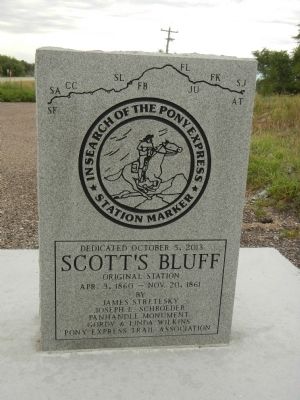
Scott’s Bluff
Original Station
Apr. 3, 1860 - Nov. 20. 1861
by
James Stretesky
Joseph L. Schroeder
Panhandle Monument
Gordy & Linda Wilkins
Pony Express Trail Association
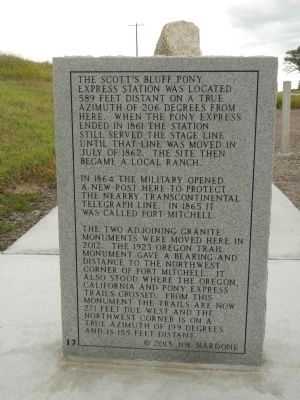
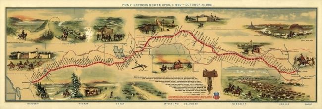
The Scott’s Bluff Pony Express station was located 589 feet distant on a true azimuth of 206 degrees from here. When the Pony Express ended in 1861 the station still served the stage line until that line was moved in July of 1862. The site then became a local ranch.
In 1864 the military opened a new post here to protect the nearby transcontinental telegraph line. In 1865 it was called Fort Mitchell.
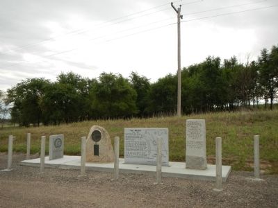
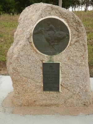
The two adjoining granite monuments were moved here in 2012. The 1923 Oregon Trail monument gave a bearing and distance to the northwest corner of Fort Mitchell . It stood where the Oregon, California and Pony Express Trails crossed. From this monument the trails are now 270 feet due west and the northwest corner is on a true azimuth of 199 degrees and is 155 feet distant.
Erected 2013 by James Stretesky, Joseph L. Schroeder, Panhandle Monument, Gordy & Linda Wilkins, Pony Express Trail Association. (Marker Number 17.)
Topics and series. This historical marker is listed in these topic lists: Communications • Roads & Vehicles. In addition, it is included in the Daughters of the American Revolution, the Oregon Trail, and the Pony Express National Historic Trail series lists. A significant historical month for this entry is July 1862.
Location. 41° 51.941′ N, 103° 43.624′ W. Marker is in Mitchell, Nebraska, in Scotts Bluff County. Marker is at the intersection of State Highway 92 and Hunt Dairy Road, on the right when traveling east on State Highway 92. Touch for map. Marker is at or near this postal address: 180397 Nebraska Route 92, Mitchell NE 69357, United States of America. Touch for directions.
Other nearby markers. At least 8 other markers are within 3 miles of this marker, measured as the crow flies. Fort Mitchell, 1864-1867 (within shouting distance of this marker); a different marker also named Fort Mitchell, 1864-1867 (approx. ¾ mile away); Saddle Club, Inc. (approx. 1.8 miles away); The Way West (approx. 2.3 miles away); The River Route (approx. 2.3 miles away); Scott Memorial (approx. 2.4 miles away); Eroding Landmark (approx. 2.4 miles away); A Landmark for the Ages (approx. 2.4 miles away). Touch for a list and map of all markers in Mitchell.
Credits. This page was last revised on June 16, 2016. It was originally submitted on December 7, 2014, by Barry Swackhamer of Brentwood, California. This page has been viewed 569 times since then and 19 times this year. Photos: 1, 2, 3, 4, 5. submitted on December 7, 2014, by Barry Swackhamer of Brentwood, California. • Andrew Ruppenstein was the editor who published this page.
