Waddington in St. Lawrence County, New York — The American Northeast (Mid-Atlantic)
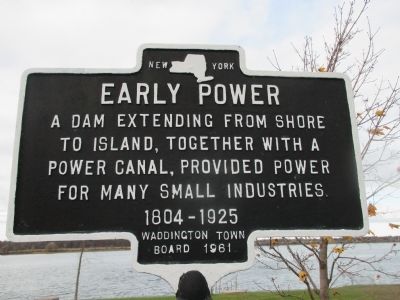
Early Power
Erected 1961 by Waddington Town Board.
Topics. This historical marker is listed in these topic lists: Charity & Public Work • Industry & Commerce • Waterways & Vessels. A significant historical year for this entry is 1804.
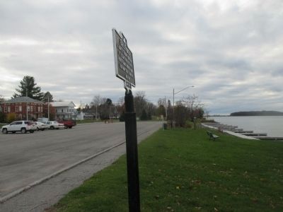
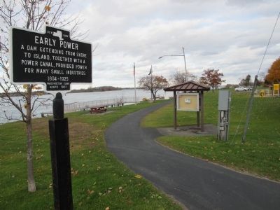
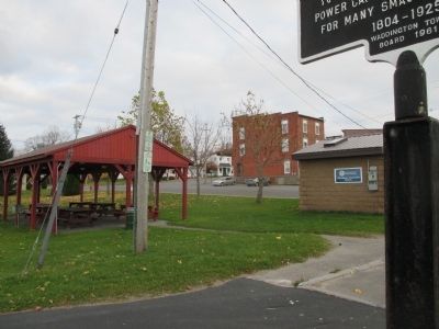
Location. 44° 51.938′ N, 75° 12.333′ W. Marker is in Waddington, New York, in St. Lawrence County. Marker is on Saint Lawrence Avenue, 0.1 miles west of Main Street, on the right when traveling west. Marker is at the east end of a public parking lot between Saint Lawrence Avenue and the St. Lawrence River shoreline. Touch for map. Marker is in this post office area: Waddington NY 13694, United States of America. Touch for directions.
Other nearby markers. At least 8 other markers are within 5 kilometers of this marker, measured as the crow flies. The SS Mary (within shouting distance of this marker); Ogden Island Mansion (within shouting distance of this marker); George Redington House (approx. 0.2 miles away); Waddington Town Hall (approx. 0.2 miles away); St. Paul's Episcopal Church (approx. 0.2 miles away); Village of Waddington (approx. 0.2 miles away); In Loving Memory of Those Who Made the Supreme Sacrifice (approx. ¼ mile away); The Williamsburg Canals (approx. 2.3 miles away in Canada). Touch for a list and map of all markers in Waddington.
Regarding Early Power. The "Island" referred to on the marker is Ogden Island.
Credits. This page was last revised on November 17, 2021. It was originally submitted on December 8, 2014, by Anton Schwarzmueller of Wilson, New York. This page has been viewed 283 times since then and 5 times this year. Photos: 1, 2, 3, 4. submitted on December 8, 2014, by Anton Schwarzmueller of Wilson, New York. • Bill Pfingsten was the editor who published this page.


