Near Cloverdale in Putnam County, Ohio — The American Midwest (Great Lakes)
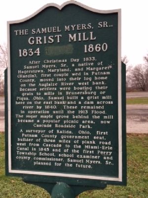
The Samuel Myers, Sr., Grist Mill 1834-1860
Inscription.
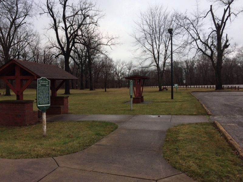
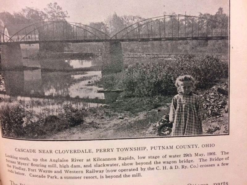
The Samuel Myers, Sr. Grist Mill 1834-1860 After Christmas Day 1833, Samuel Myers, Sr., a native of Hagerstown, Maryland, and Margaret (Hardin), first couple wed in Putnam County, moved ito their log home on the Auglaize River west bank. Because settlers were boating their grain to mills in Brunersburg, or Piqua, Ohio, Samuel built a grist mill here on the east bank and a dam across river by 1840. These remained in operation until the 1913 flood. The sugar maple grove behind the mill became a popular picnic area, now Cascade Roadside Park.
A surveyor of Kalida, Ohio, first Putnam County government seat, builder of three miles of plank road west from Cascade to the Miami-Erie Canal in 1845 and of the first Perry Township School, school examiner and county commissioner. Samuel Myers, Sr., planned for the future.
Topics. This historical marker is listed in this topic list: Settlements & Settlers. A significant historical year for this entry is 1833.
Location. 41° 1.163′ N, 84° 17.218′ W. Marker is near Cloverdale, Ohio, in Putnam County. Marker is on Ohio Route 114 near Ohio Route 634, on the right. Located in the roadside park. Touch for map. Marker is in this post office area: Cloverdale OH 45827, United States of America. Touch for directions.
Other nearby markers. At least 8 other markers are within 6 miles of this marker, measured as the crow flies. Home-In-The-Wilderness 1821-1870 (a few steps from this marker); Auglaize River Bridge (approx. 0.9 miles away); Findlay & Ft. Wayne RR Cornerstone (approx. 0.9 miles away); Kalida Veterans Memorial (approx. 4.8 miles away); Kalida (approx. 5 miles away); a different marker also named Kalida (approx. 5.2 miles away); Welcome To Pioneer Park (approx. 5.2 miles away); Pioneer Days In Kalida / The Putnam County Historical Society (approx. 5.2 miles away). Touch for a list and map of all markers in Cloverdale.
Credits. This page was last revised on January 22, 2017. It was originally submitted on December 10, 2014, by Michael Baker of Lima, Ohio. This page has been viewed 959 times since then and 37 times this year. Photos: 1. submitted on December 10, 2014, by Michael Baker of Lima, Ohio. 2. submitted on January 15, 2017, by Michael Baker of Lima, Ohio. 3. submitted on December 20, 2016, by Michael Baker of Lima, Ohio. • Al Wolf was the editor who published this page.


