Williamson in Wayne County, New York — The American Northeast (Mid-Atlantic)
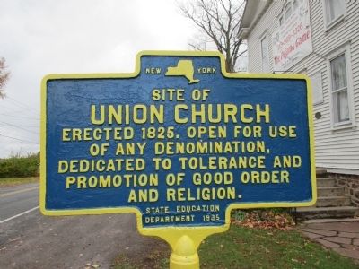
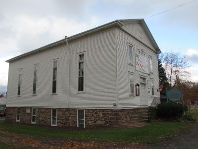
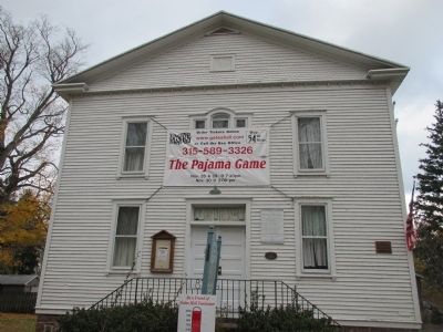
Site of Union Church
Union Church
Erected 1825. Open for use
of any denomination,
dedicated to tolerance and
promotion of good order
and religion.
Erected 1935 by New York State Education Department.
Topics. This historical marker is listed in this topic list: Churches & Religion. A significant historical year for this entry is 1825.
Location. 43° 16.783′ N, 77° 11.18′ W. Marker is in Williamson, New York, in Wayne County. Marker is at the intersection of Lake Road (County Route 101) and Hamilton Street, on the right when traveling west on Lake Road. Pultneyville is an unincorporated hamlet in the town of Williamson. Touch for map. Marker is at or near this postal address: 4107 Lake Road, Williamson NY 14589, United States of America. Touch for directions.
Other nearby markers. At least 8 other markers are within walking distance of this marker. 100 Years of Dramatics (here, next to this marker); First White Men (approx. 0.2 miles away); From the Nearby Ravine (approx. 0.2 miles away); The Battle of Pultneyville (approx. 0.2 miles away); Pultneyville Historic District (approx. 0.2 miles away); Wreck of the St. Peter (approx. 0.9 miles away); The Church of Jesus Christ of Latter-Day Saints (approx. 0.9 miles away); Underground Railroad Terminus (approx. 0.9 miles away). Touch for a list and map of all markers in Williamson.
Credits. This page was last revised on May 11, 2021. It was originally submitted on December 11, 2014, by Anton Schwarzmueller of Wilson, New York. This page has been viewed 422 times since then and 36 times this year. Photos: 1, 2, 3, 4, 5. submitted on December 11, 2014, by Anton Schwarzmueller of Wilson, New York. • Bill Pfingsten was the editor who published this page.


