Near Key Biscayne in Miami-Dade County, Florida — The American South (South Atlantic)
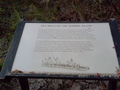
Key Biscayne, The Barrier Island
Key Biscayne is a barrier island located at the north end of the reef-strewn Florida Straits. One thousand years before Columbus sailed, the Tequesta inhabited the island. These coastal fishermen navigated dugout canoes between the island and the mainland. The Spanish explorers and missionaries referred to the native people in the area around Biscayne Bay as Vizcaynos. Though this name for them is documented in a 1675 mission report letter from Bishop Calderon of Cuba, and though several tales offer explanations, the true origin of the name which graces Biscayne Bay and Key Biscayne remains a mystery.
In 1513, Juan Ponce de Leon sailed from Puerto Rico searching for cities of gold. He landed on this island because of its distinctive location, and the fresh water and firewood found in the area. The island became a prominent landmark for the earliest navigators in American waters. During a twenty year British rule which began in 1763, British Royal Surveyors charted the waters. Florida was returned to Spain in the 1783 Treaty of Paris. Spain ceded Florida to the United States in 1821 and territorial status was granted later that same year. Florida became a state in 1845.
Topics. This historical marker is listed in these topic lists: Exploration • Native Americans • Waterways & Vessels. A significant historical year for this entry is 1675.
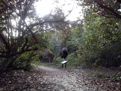
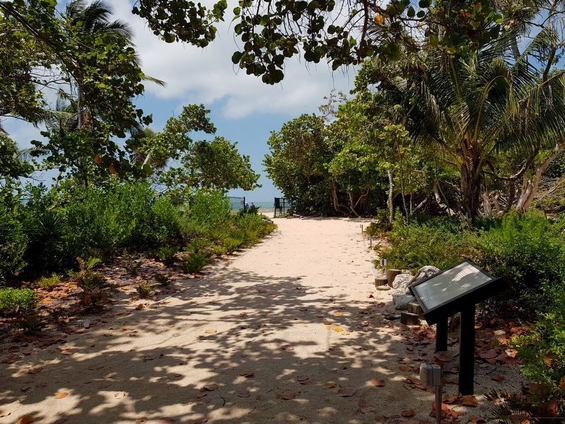
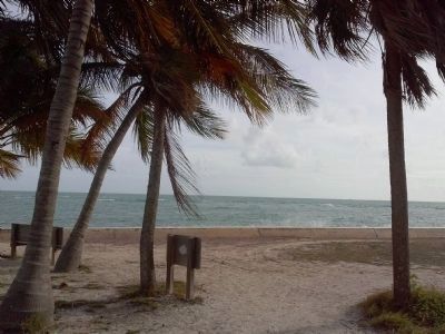
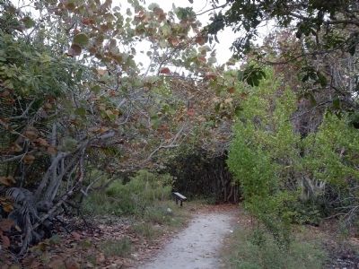
Location. 25° 39.973′ N, 80° 9.411′ W. Marker is near Key Biscayne, Florida, in Miami-Dade County. Marker can be reached from the intersection of South Crandon Boulevard and Cape Florida Park Boulevard, on the left when traveling south. The marker is on a trail leading from the Lighthouse Keeper's House and Cape Florida Lighthouse to the ocean. Touch for map. Marker is at or near this postal address: 1200 S Crandon Blvd, Key Biscayne FL 33149, United States of America. Touch for directions.
Other nearby markers. At least 8 other markers are within walking distance of this marker. The Bahama Dinghy (within shouting distance of this marker); The Archaeology of Key Biscayne (within shouting distance of this marker); Lighthouse Keeper's Cottage (within shouting distance of this marker); U.S. Coast Survey Base Marker (within shouting distance of this marker); Escaping to Freedom in the Bahamas (within shouting distance of this marker); Dade Heritage Trust’s Cape Florida Lighthouse Brick Program (about 300 feet away, measured in a direct line); Let It Shine! (about 300 feet away); Restoration Hardware (about 300 feet away). Touch for a list and map of all markers in Key Biscayne.
Also see . . .
1. Florida Tribes: Tequesta Indians. (Submitted on December 15, 2014, by Marsha A. Matson of Palmetto Bay, Florida.)
2. The Tequesta of Biscayne Bay. (Submitted on December 15, 2014, by Marsha A. Matson of Palmetto Bay, Florida.)
Credits. This page was last revised on January 26, 2021. It was originally submitted on December 15, 2014, by Marsha A. Matson of Palmetto Bay, Florida. This page has been viewed 505 times since then and 16 times this year. Photos: 1, 2. submitted on December 15, 2014, by Marsha A. Matson of Palmetto Bay, Florida. 3. submitted on June 2, 2019, by J. Makali Bruton of Accra, Ghana. 4, 5. submitted on December 15, 2014, by Marsha A. Matson of Palmetto Bay, Florida. • Bernard Fisher was the editor who published this page.
