Abilene in Taylor County, Texas — The American South (West South Central)
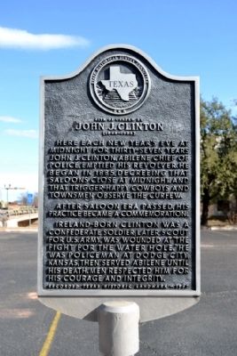
Site of Curfew by John J. Clinton
(1848 - 1922)
Here each New Year’s Eve at midnight for thirty-seven years John J. Clinton, Abilene Chief of Police, emptied his revolver. He began in 1885, decreeing that saloons close at midnight, and that trigger-happy cowboys and townsmen observe the curfew.
After saloon era passed, his practice became a commemoration.
Ireland-born Clinton was a Confederate soldier; later scout for U.S. Army, was wounded at “the fight for the water hole.” He was policeman at Dodge City, Kansas, then served Abilene until his death. Men respected him for his courage and integrity.
Recorded Texas Historic Landmark - 1967
Erected 1967 by State Historical Survey Committee. (Marker Number 4766.)
Topics. This historical marker is listed in these topic lists: Industry & Commerce • Law Enforcement • War, US Civil. A significant historical year for this entry is 1885.
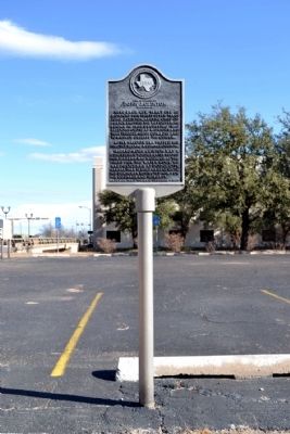
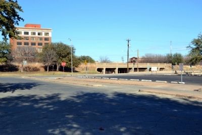
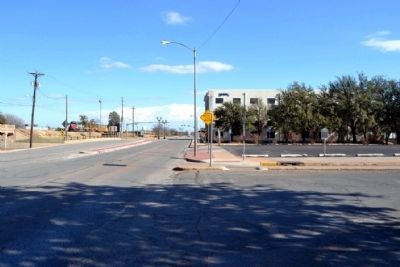
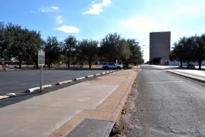
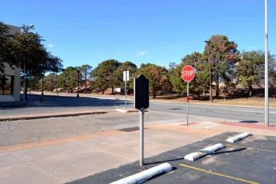
Location. 32° 26.905′ N, 99° 44.017′ W. Marker is in Abilene, Texas, in Taylor County. Marker is at the intersection of Chestnut Street and S. 1st Street, on the right when traveling south on Chestnut Street. Marker is located at edge of parking lot on the southeast corner of the intersection. Touch for map. Marker is in this post office area: Abilene TX 79602, United States of America. Touch for directions.
Other nearby markers. At least 8 other markers are within walking distance of this marker. The Texas & Pacific Railway (about 300 feet away, measured in a direct line); First Presbyterian Church (about 300 feet away); Texas & Pacific Railroad Depot (about 400 feet away); Pine Street Shootout (about 500 feet away); The Hotel Grace (about 500 feet away); Taylor County Veterans Memorial (about 600 feet away); The Bankhead Highway (about 800 feet away); Honoring E Battery Lost Battalion WWII (approx. 0.2 miles away). Touch for a list and map of all markers in Abilene.
Also see . . . John J. Clinton - Findagrave.com Website. Includes obituary from 1922. (Submitted on December 18, 2014.)
Credits. This page was last revised on November 29, 2020. It was originally submitted on December 18, 2014, by Duane Hall of Abilene, Texas. This page has been viewed 616 times since then and 26 times this year. Photos: 1, 2, 3, 4, 5, 6. submitted on December 18, 2014, by Duane Hall of Abilene, Texas.
