Forest Hills in Northwest Washington in Washington, District of Columbia — The American Northeast (Mid-Atlantic)
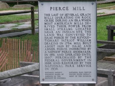
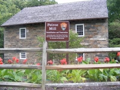
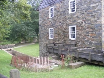
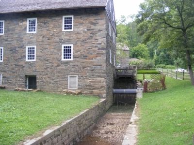
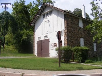
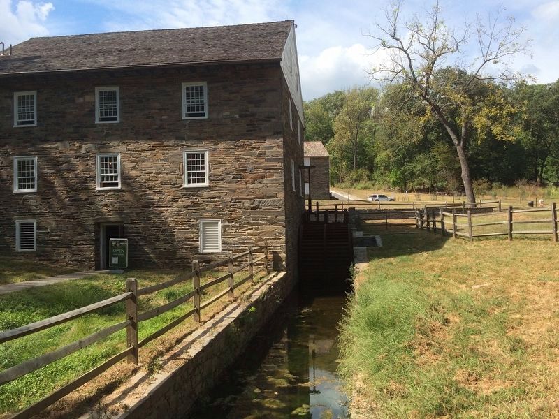
Pierce Mill
Erected by National Society Colonial Dames of America in the District of Columbia; National Park Service, U.S. Department of the Interior.
Topics and series. This historical marker is listed in this topic list: Industry & Commerce. In addition, it is included in the The Colonial Dames of America, National Society of series list. A significant historical year for this entry is 1794.
Location. Marker has been reported missing. It was located near 38° 56.42′ N, 77° 3.11′ W. Marker was in Northwest Washington in Washington, District of Columbia. It was in Forest Hills. Marker was on Tilden Street Northwest west of Beach Drive Northwest, on the right when traveling west. The marker was located in Rock Creek Park. Touch for map. Marker was at or near this postal address: 2401 Tilden Street Northwest, Washington DC 20008, United States of America. Touch for directions.
Other nearby markers. At least 8 other markers are within walking distance of this location. Machine in a Stone Box (a few steps from this marker); The Peirce Family Estate (within shouting distance of this marker); Pierce Plantation (within shouting distance of this marker); Orchards, Fields, Gardens, Pastures (within shouting distance of this marker); Peirce Still House (within shouting distance of this marker); Herring Highway (within shouting distance of this marker); Rock Creek's Mills (about 300 feet away, measured in a direct line); Peirce Mill (about 400 feet away). Touch for a list and map of all markers in Northwest Washington.
Credits. This page was last revised on January 30, 2023. It was originally submitted on December 9, 2013, by Don Morfe of Baltimore, Maryland. This page has been viewed 710 times since then and 4 times this year. Last updated on February 8, 2021, by Carl Gordon Moore Jr. of North East, Maryland. Photos: 1, 2, 3, 4, 5. submitted on December 9, 2013, by Don Morfe of Baltimore, Maryland. 6. submitted on September 19, 2016, by J. Makali Bruton of Accra, Ghana. • Devry Becker Jones was the editor who published this page.
