Near Louisbourg in Cape Breton Region, Nova Scotia — The Atlantic Provinces (North America)
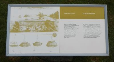
The Lobster Fishery
Le pêche du homard
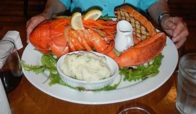
Between 15 May and 15 July the ocean in front of you is dotted with the buoys of the lobster fishery. The Mi’kmaq as well as the French and the English ate lobster and other shellfish during the 18th Century. During the 1754 siege of Louisbourg, diarist Benjamin Cleaves noted on 30 May: “Our men went to catch lobsters; caught 30.” The lobster fishery became a commercial operation in Atlantic Canada by the 1870’s.
French:
Du 15 mai au 15 juillet, l’ocean situé devant vous est parsemé des bouées appartenant aux pêcheurs de homard. Tout au long du XVIIIᵉ siècle, les Mi’kmaq, les Français et les Anglais consommèrent du homard, ainsi que d’autres crustacés et des mollusques. Durant le siège de 1745, le chroniqueur Benjamin Cleaves consigna ce qui suit à la date du 30 mai : «Nos hommes sont allés pêcher du homard; ils en ont capturé 30.» Avant même le début des années 1870, la pêche du homard était devenue un activité commerciale dans la région canadienne de l’Atlantique.
Erected by Parks Canada.
Topics and series. This historical marker is listed in these topic lists: Industry & Commerce • War, French and Indian. In addition, it is included in the Acadian History series list. A significant historical year for this entry is 1754.
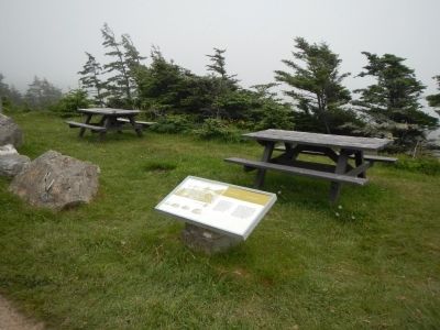
Location. 45° 54.494′ N, 59° 57.929′ W. Marker is near Louisbourg, Nova Scotia, in Cape Breton Region. Marker is on Havenside Road, on the left when traveling east. Touch for map. Marker is at or near this postal address: 217 Havenside Road, Louisbourg NS B1C 1P4, Canada. Touch for directions.
Other nearby markers. At least 8 other markers are within walking distance of this marker. 19th-Century Lighthouse (approx. 0.6 kilometers away); First Lighthouse Tower (approx. 0.6 kilometers away); French Garrison at Louisbourg (approx. 0.6 kilometers away); First Lighthouse (approx. 0.6 kilometers away); Louisbourg Harbour (approx. 0.6 kilometers away); Lighthouse Point (approx. 0.6 kilometers away); Kennelly Point (approx. 0.7 kilometers away); Fortress of Louisbourg (approx. 1.5 kilometers away). Touch for a list and map of all markers in Louisbourg.
Credits. This page was last revised on June 16, 2016. It was originally submitted on December 28, 2014, by Barry Swackhamer of Brentwood, California. This page has been viewed 393 times since then and 14 times this year. Photos: 1, 2, 3. submitted on December 28, 2014, by Barry Swackhamer of Brentwood, California. • Andrew Ruppenstein was the editor who published this page.


