Fort Scott in Bourbon County, Kansas — The American Midwest (Upper Plains)
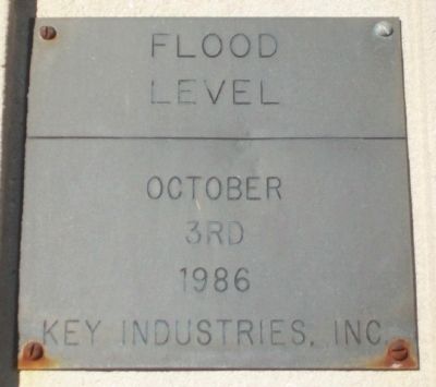
Flood Level
October 3rd 1986
— Key Industries, Inc. —
Erected by Key Industries, Inc.
Topics. This historical marker is listed in these topic lists: Disasters • Waterways & Vessels.
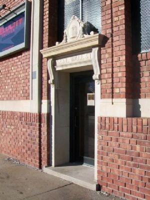
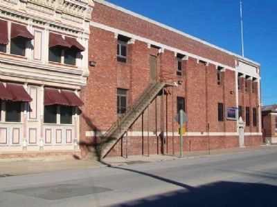
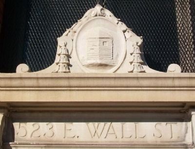
Location. 37° 50.52′ N, 94° 42.042′ W. Marker is in Fort Scott, Kansas, in Bourbon County. Marker is at the intersection of Wall Street (U.S. 54) and Wilson Street, on the left when traveling east on Wall Street. Touch for map. Marker is at or near this postal address: 523 East Wall Street, Fort Scott KS 66701, United States of America. Touch for directions.
Other nearby markers. At least 8 other markers are within walking distance of this marker. Where Was the Bathroom? (approx. 0.2 miles away); Free to Learn (approx. 0.2 miles away); Quartermaster Complex (approx. 0.2 miles away); Infantry Life (approx. 0.2 miles away); "The Crack Post of the Frontier" (approx. 0.2 miles away); The Heart of Fort Scott (approx. ¼ mile away); Tallgrass Prairie Trail (approx. ¼ mile away); Welch, Badger & Co. Dry Goods Store (approx. ¼ mile away). Touch for a list and map of all markers in Fort Scott.
Also see . . .
1. Historic Floods of Kansas. USGS website entry (Submitted on January 8, 2015, by William Fischer, Jr. of Scranton, Pennsylvania.)
2. Marmaton River. Wikipedia entry (Submitted on January 8, 2015, by William Fischer, Jr. of Scranton, Pennsylvania.)
Credits. This page was last revised on November 29, 2021. It was originally submitted on January 8, 2015, by William Fischer, Jr. of Scranton, Pennsylvania. This page has been viewed 426 times since then and 13 times this year. Photos: 1, 2, 3. submitted on January 8, 2015, by William Fischer, Jr. of Scranton, Pennsylvania. 4. submitted on January 9, 2015, by William Fischer, Jr. of Scranton, Pennsylvania.


