St. Thomas Township near Saint Thomas in Franklin County, Pennsylvania — The American Northeast (Mid-Atlantic)
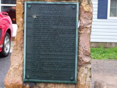
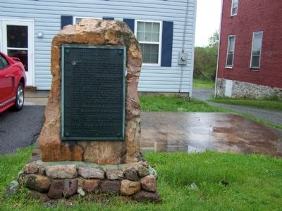
St. Thomas Commemorates
1734. License July 31, to Charles Campbell, 200 acres. No survey. At the head of a spring which runs thro John MacFarlans tract.
1734. License July 31, to James Campbell, 200 acres. No survey. joining to his brother Charles Campbell.
1738. Election William Campbell, son of Charles, Trustee of Upper West Conococheague Church. Church Hill the Pioneer Church for St. Thomas Community.
1749. Warrant to Michael Campbell, son of Charles, for 300 acres, part of this land his son Thomas Campbell laid out into 82 lots, calling the village St. Thomas per original survey parchment of James McDowell made prior to 1802 when original deeds were given for said lots by James Campbell and Mary McDowell Campbell his wife.
1784. One hundred fifty years Franklin County history.
1818. One hundred sixteen years with St. Thomas township.
1823. Birth August 10 of Gen. Charles T. Campbell, son of James, organizer of St. Thomas "Flying Artillery", and a hero of Mexican and Civil Wars.
1834. One hundred years of Pennsylvania Public School.
Topics. This historical marker is listed in these topic lists: Colonial Era • Settlements & Settlers • War, Mexican-American • War, US Civil. A significant historical date for this entry is July 31, 1681.
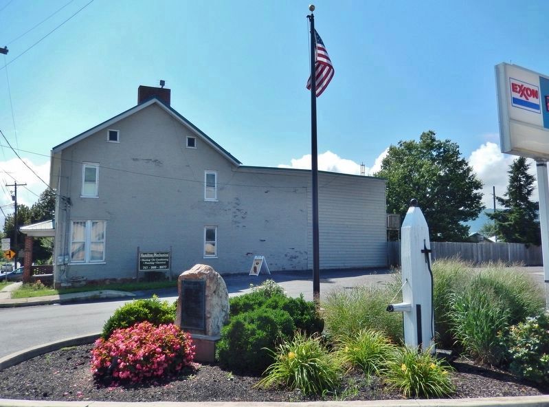
Location. 39° 55.055′ N, 77° 47.876′ W. Marker is near Saint Thomas, Pennsylvania, in Franklin County. It is in St. Thomas Township. Marker is at the intersection of Lincoln Way West (U.S. 30) and St. Thomas-Williamson Road, on the right when traveling east on Lincoln Way West. Touch for map. Marker is at or near this postal address: 7402 Lincoln Way W, Saint Thomas PA 17252, United States of America. Touch for directions.
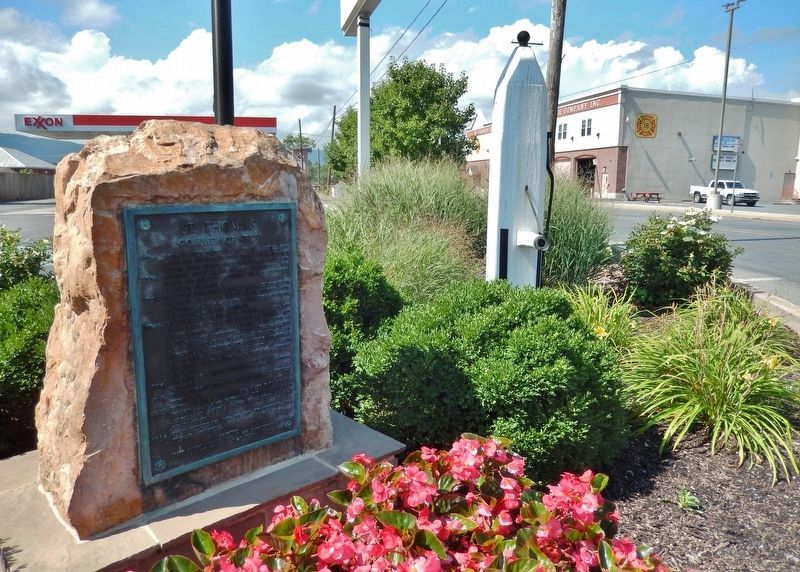
Other nearby markers. At least 8 other markers are within 5 miles of this marker, measured as the crow flies. Tree Pump(s) (here, next to this marker); Colonel James G. Elder (here, next to this marker); Jacob Nelson "Nellie" Fox (within shouting distance of this marker); Fort Wadell (approx. 1.3 miles away); Fort Waddell (approx. 1.3 miles away); Joseph Armstrong (approx. 3.2 miles away); Site of Fort McCord (approx. 4.8 miles away); Fort McDowell (approx. 4.9 miles away). Touch for a list and map of all markers in Saint Thomas.
Credits. This page was last revised on April 7, 2023. It was originally submitted on May 31, 2008, by Bill Pfingsten of Bel Air, Maryland. This page has been viewed 1,673 times since then and 38 times this year. Photos: 1. submitted on May 31, 2008, by Bill Pfingsten of Bel Air, Maryland. 2, 3. submitted on April 7, 2023, by Cosmos Mariner of Cape Canaveral, Florida. 4. submitted on May 31, 2008, by Bill Pfingsten of Bel Air, Maryland.


