Centreville in Queen Anne's County, Maryland — The American Northeast (Mid-Atlantic)
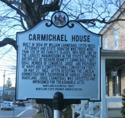
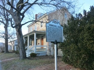
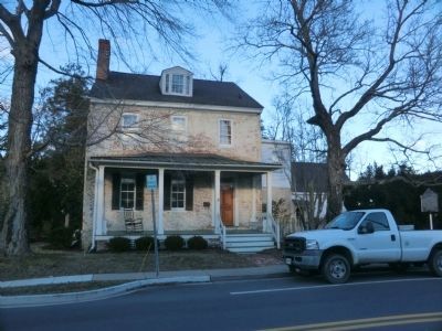
Carmichael House
Erected by Maryland Historical Trust, Maryland State Highway Administration.
Topics. This historical marker is listed in these topic lists: Government & Politics • War, US Civil. A significant historical month for this entry is May 1832.
Location. 39° 2.621′ N, 76° 3.834′ W. Marker is in Centreville, Maryland, in Queen Anne's County. Marker is at the intersection of East Water Street (Maryland Route 304) and Banjo Lane, on the right when traveling west on East Water Street. Touch for map. Marker is at or near this postal address: 201 East Water Street, Centreville MD 21617, United States of America. Touch for directions.
Other nearby markers. At least 8 other markers are within walking distance of this marker. Site of Goldsborough House (within shouting distance of this marker); Connecting Centreville to the Worlds of Commerce Beyond the Eastern Shore (about 400 feet away, measured in a direct line); The Railroad as Community Connector to the World (about 400 feet away); Wright’s Chance (about 500 feet away); The Brass Pin (about 500 feet away); Centreville National Bank of Maryland (about 500 feet away); a different marker also named Wright's Chance (about 500 feet away); Centrally Located (about 500 feet away). Touch for a list and map of all markers in Centreville.
Credits. This page was last revised on June 16, 2016. It was originally submitted on February 7, 2015, by Don Morfe of Baltimore, Maryland. This page has been viewed 502 times since then and 27 times this year. Photos: 1, 2, 3. submitted on February 7, 2015, by Don Morfe of Baltimore, Maryland. • Bernard Fisher was the editor who published this page.


