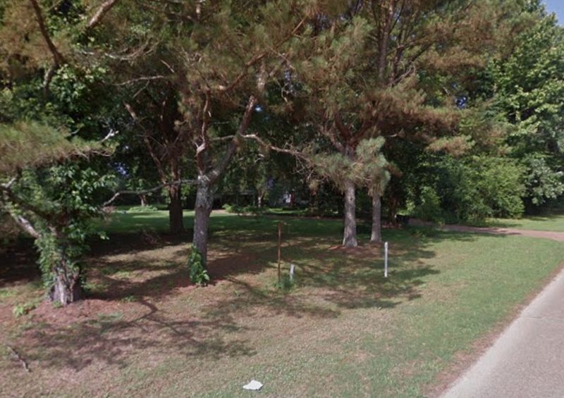
Edwards in Hinds County, Mississippi — The American South (East South Central)
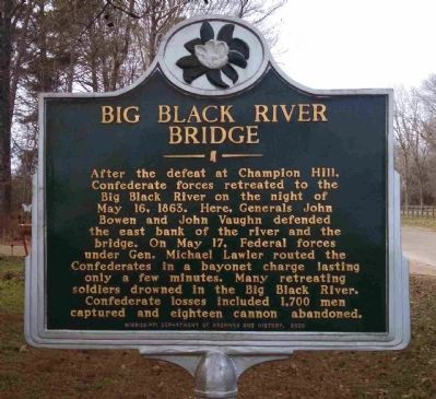
Big Black River Bridge
Erected 2009 by Mississippi Department of Archives and History.
Topics and series. This historical marker is listed in these topic lists: Bridges & Viaducts • War, US Civil • Waterways & Vessels. In addition, it is included in the Mississippi State Historical Marker Program series list. A significant historical date for this entry is May 16, 1793.
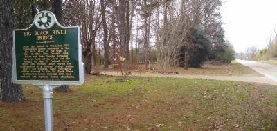
Location. Marker has been reported missing. It was located near 32° 20.614′ N, 90° 40.674′ W. Marker was in Edwards, Mississippi, in Hinds County. Marker was on Old U.S. 80, half a mile west of Smith Station Road, on the right when traveling east. Touch for map. Marker was at or near this postal address: 21080 Old US 80, Edwards MS 39066, United States of America. Touch for directions.
Other nearby markers. At least 8 other markers are within 8 miles of this location, measured as the crow flies. Bridgeport Plantation (approx. 3.4 miles away); St. Alban's Episcopal Church (approx. 3.6 miles away); Mt. Moriah (approx. 5˝ miles away); Lloyd Tilghman (approx. 7 miles away); Indecision! Indecision! Indecision!/A Prompt Concentration of Our Forces (approx. 7.3 miles away); Architecture and Renovations (approx. 7.3 miles away); 1863 Vicksburg Campaign (approx. 7.3 miles away); The Coker House and the Battle of Champion Hill (approx. 7.3 miles away). Touch for a list and map of all markers in Edwards.
Also see . . .
1. Wikipedia: Battle of Big Black River Bridge. (Submitted on February 7, 2015, by Cleo Robertson of Fort Lauderdale, Florida.)
2. American Civil War: Big Black River Bridge. (Submitted on February 7, 2015, by Cleo Robertson of Fort Lauderdale, Florida.)
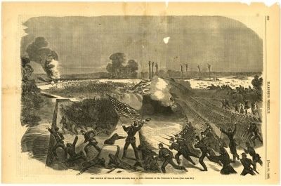
Photographed By Harpers Weekly, June 20, 1863
4. Battle of the Big Black River Bridge
Attempting to hold the river crossing to get as many troops across as possible, Pemberton was again defeated by Grant’s troops on the east bank of the Big Black River. The remaining Confederate forces fell back into the defenses at Vicksburg. (Source: http://mdah.state.ms.us/timeline/wp-content/uploads/PI-CW-B38.8-58-800x530.jpg)
Credits. This page was last revised on December 16, 2020. It was originally submitted on February 7, 2015, by Cleo Robertson of Fort Lauderdale, Florida. This page has been viewed 1,095 times since then and 42 times this year. Photos: 1, 2, 3, 4, 5. submitted on February 7, 2015, by Cleo Robertson of Fort Lauderdale, Florida. 6. submitted on January 9, 2017, by Mark Hilton of Montgomery, Alabama. • Bernard Fisher was the editor who published this page.
