McPherson in McPherson County, Kansas — The American Midwest (Upper Plains)
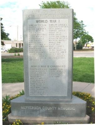
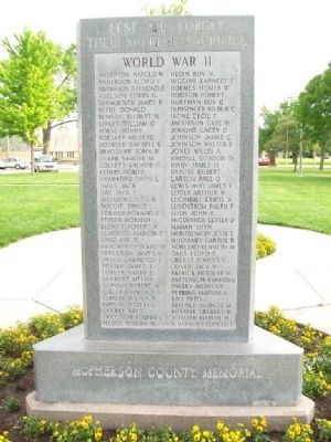
McPherson County War Memorial
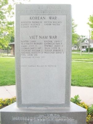
Lest We Forget Their Supreme Sacrifice
Korean War • Viet Nam War
[Rolls of Honored Dead]
William J. Everhart
First Kansan killed in Vietnam
Topics. This memorial is listed in these topic lists: War, Korean • War, Vietnam • War, World I • War, World II.
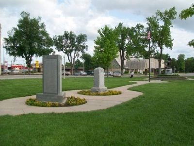
Location. 38° 22.206′ N, 97° 40.176′ W. Marker is in McPherson, Kansas, in McPherson County. Memorial is at the intersection of Marlin Street and Walnut Street, on the left when traveling west on Marlin Street. Monument is in Memorial Park, on the county courthouse grounds. Touch for map. Marker is at or near this postal address: 114 North Maple Street, McPherson KS 67460, United States of America. Touch for directions.
Other nearby markers. At least 8 other markers are within 7 miles of this marker, measured as the crow flies. Company D, 2nd Kansas Infantry World War I Memorial (here, next to this marker); POW-MIA Memorial (a few steps from this marker); Major General James B. McPherson (within shouting distance of this marker); One Main Place (about 700 feet away, measured in a direct line); McPherson Opera House (approx. ¼ mile away); Veterans Memorial (approx. 1½ miles away); Kansas Indian Treaty (approx. 6.3 miles away); Sora Kansas Creek (approx. 6.3 miles away). Touch for a list and map of all markers in McPherson.
Credits. This page was last revised on June 16, 2016. It was originally submitted on February 8, 2015, by William Fischer, Jr. of Scranton, Pennsylvania. This page has been viewed 326 times since then and 8 times this year. Photos: 1, 2, 3, 4. submitted on February 8, 2015, by William Fischer, Jr. of Scranton, Pennsylvania.


