Baird in Callahan County, Texas — The American South (West South Central)
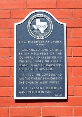
First Presbyterian Church of Baird
In 1906, the Cumberland and “Northern” branches of the church were united.
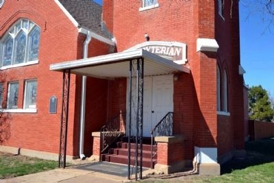
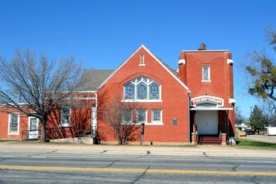
The present building was erected in 1910.
Erected 1969 by State Historical Survey Committee. (Marker Number 1827.)
Topics. This historical marker is listed in this topic list: Churches & Religion. A significant historical date for this entry is June 26, 1885.
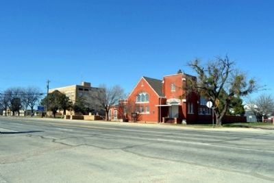
Location. 32° 23.663′ N, 99° 23.595′ W. Marker is in Baird, Texas, in Callahan County. Marker is at the intersection of E. 4th Street (Business Interstate 20) and Chestnut Street, on the right when traveling west on E. 4th Street. Touch for map. Marker is in this post office area: Baird TX 79504, United States of America. Touch for directions.
Other nearby markers. At least 8 other markers are within walking distance of this marker. Baby Treaty Oak (within shouting distance of this marker); Pioneers (about 300 feet away, measured in a direct line); Historic National Bankhead Highway (about 300 feet away); Callahan County War Memorial (about 300 feet away); Callahan County (about 300 feet away); Callahan County Courthouse (about 300 feet away); Camp Pecan C.S.A. / Texas Civil War Frontier Defense (about 400 feet away); First Callahan Jail (about 700 feet away). Touch for a list and map of all markers in Baird.
Credits. This page was last revised on November 2, 2020. It was originally submitted on February 10, 2015, by Duane Hall of Abilene, Texas. This page has been viewed 394 times since then and 15 times this year. Photos: 1, 2, 3, 4. submitted on February 10, 2015, by Duane Hall of Abilene, Texas.


