Chester in Queen Anne's County, Maryland — The American Northeast (Mid-Atlantic)
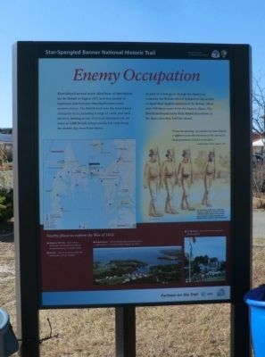
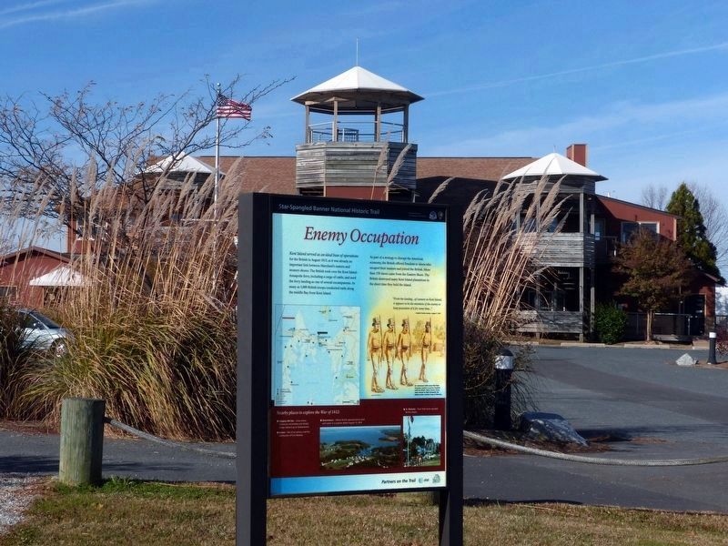
Enemy Occupation
Star-Spangled Banner National Historic Trail
— War of 1812 —
Kent Island served as an ideal base of operations for the British in August 1813, as it was already an important link between Maryland’s eastern and western shores. The British took over the Kent Island-Annapolis ferry, including a cargo of cattle, and used the ferry landing as one of several encampments. As many as 3,000 British troops conducted raids along the middle Bay from Kent Island.
As part of a strategy to disrupt the American economy, the British offered freedom to slaves who escaped their masters and joined the British. More than 150 slaves came from the Eastern Shore. The British destroyed many Kent Island plantations in the short time they held the island.
“From the landing…of cannon on Kent Island, it appears to be the intention of the enemy to keep possession of it for some time…”
Captain Charles Gordon, August 7, 1813.
An estimated 4,000 slaves fled their American masters to pursue freedom with the British. Many former slaves were trained to fight alongside the British as the Colonial Corps of Marines.
Nearby places to explore the War of 1812:
✴️ Slippery Hill Site — Area where Americans skirmished with British troops advancing on Queenstown
✴️ Easton — Site of an armory and the earthworks of Fort Stoakes
✴️ Queenstown — Where British approached by land and water in a surprise attack August 13, 1813
✴️ St. Michaels — Town that twice repulsed British attacks.
Erected by National Park Service, U.S. Department of the Interior.
Topics and series. This historical marker is listed in these topic lists: African Americans • War of 1812. In addition, it is included in the Star Spangled Banner National Historic Trail series list. A significant historical year for this entry is 1813.
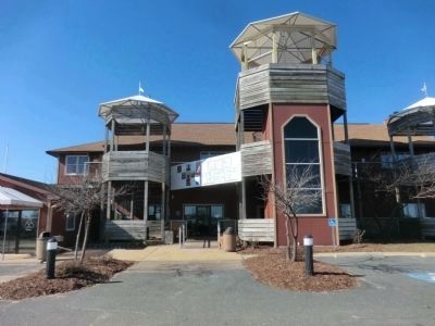
Location. 38° 58.488′ N, 76° 14.918′ W. Marker is in Chester, Maryland, in Queen Anne's County. Marker is on Piney Narrows Road. The marker is located on the grounds of the Chesapeake Heritage Center. Touch for map. Marker is in this post office area: Chester MD 21619, United States of America. Touch for directions.
Other nearby markers. At least 8 other markers are within walking distance of this marker. War Along the Chesapeake (within shouting distance of this marker); Chesapeake Country National Scenic Byway (within shouting distance of this marker); Byway Destinations (within shouting distance of this marker); a different marker also named Byway Destinations (within shouting distance of this marker); Crossing the Narrows (about 300 feet away, measured in a direct line); From Marsh to Working Waterway
Photographed By Devry Becker Jones (CC0), August 27, 2022
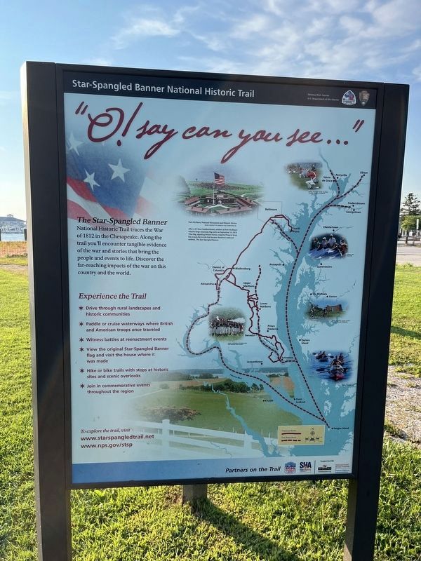
2. "O! say can you see…" side of the marker
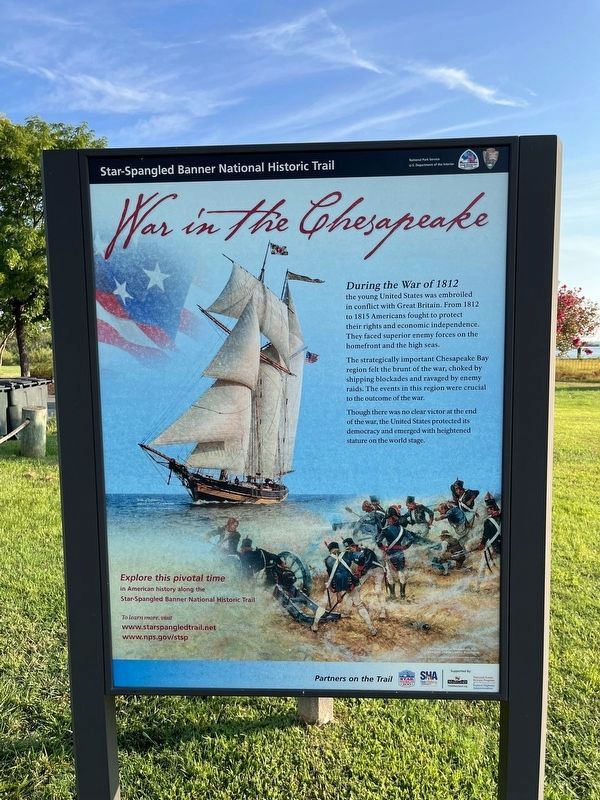
Photographed By Devry Becker Jones (CC0), August 27, 2022
3. War in the Chesapeake side of the marker
Credits. This page was last revised on October 25, 2023. It was originally submitted on February 14, 2015, by Don Morfe of Baltimore, Maryland. This page has been viewed 722 times since then and 185 times this year. Photos: 1. submitted on February 14, 2015, by Don Morfe of Baltimore, Maryland. 2, 3. submitted on August 28, 2022, by Devry Becker Jones of Washington, District of Columbia. 4. submitted on January 31, 2018, by Allen C. Browne of Silver Spring, Maryland. 5. submitted on February 14, 2015, by Don Morfe of Baltimore, Maryland. • Bill Pfingsten was the editor who published this page.
