Thibodaux in Lafourche Parish, Louisiana — The American South (West South Central)
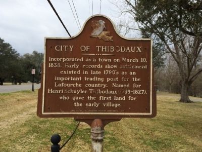
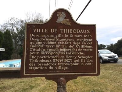
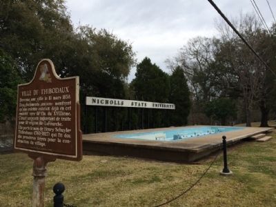
City of Thibodaux / Ville de Thibodaux
Side 1
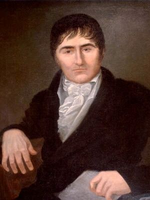
Incorporated as a town on March 10, 1838. Early records show settlement existed in late 1790's as an important trading post for the Lafourche country. Named for Henri Schuyler Thibodaux (1769-1827), who gave the first land for the early village.
Side 2
Devenue une ville le 10 mars 1838. Des documents anciens montrent qu'une colonie existait déjà en cet endroit vers la fin due XVIIIième. C'était un poste important de traite pour la region de LaFourche. Elle porte de nom Henri Schuyler Thibodeaux (1769-1827) qui fit don des premières terres pour la construction du village.
Erected 1971 by the Louisiana Tourist Commission.
Topics. This historical marker is listed in these topic lists: Industry & Commerce • Settlements & Settlers. A significant historical month for this entry is March 1817.
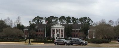
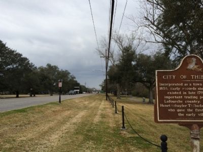
Location. 29° 47.746′ N, 90° 48.078′ W. Marker is in Thibodaux, Louisiana, in Lafourche Parish. Marker is on East 1st Street (State Highway 1) 0.1 miles west of Bowie Road, on the right when traveling west. Touch for map. Marker is at or near this postal address: 907 East 1st Street, Thibodaux LA 70301, United States of America. Touch for directions.
Other nearby markers. At least 8 other markers are within walking distance of this marker. Acadia Plantation (approx. ¼ mile away); Our Confederate Dead (approx. half a mile away); The St. Joseph Cemetery Calvary-Grotto Shrine (approx. half a mile away); St. Joseph Cemetery (approx. half a mile away); Thibodaux College (approx. 0.6 miles away); Rienzi Plantation House (approx. ¾ mile away); Site of Mount Carmel Academy (approx. 0.9 miles away); Laurel Valley (approx. one mile away). Touch for a list and map of all markers in Thibodaux.
Also see . . . History of Thibodaux (Wikipedia article). (Submitted on February 25, 2015, by Mark Hilton of Montgomery, Alabama.)
Credits. This page was last revised on February 2, 2020. It was originally submitted on February 25, 2015, by Mark Hilton of Montgomery, Alabama. This page has been viewed 542 times since then and 34 times this year. Photos: 1, 2, 3, 4, 5, 6. submitted on February 25, 2015, by Mark Hilton of Montgomery, Alabama.
