Marker Logo HMdb.org THE HISTORICAL
MARKER DATABASE
“Bite-Size Bits of Local, National, and Global History”
Chaptico in St. Mary's County, Maryland — The American Northeast (Mid-Atlantic)
 

Christ Church King and Queen Parish


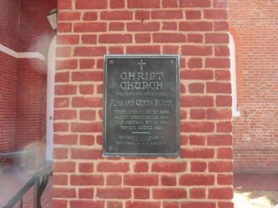
Christ Church King and Queen Parish Marker image. Click for full size.
Photographed By Don Morfe, February 11, 2015
1. Christ Church King and Queen Parish Marker
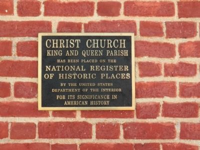
Inscription. Christ Church King and Queen Parish has been placed on the National Register of Historic Places by the United States Department of the Interior for its significance in American History
 
Topics. This historical marker is listed in these topic lists: Churches & ReligionColonial Era.
 
Location. 38° 21.966′ N, 76° 47.034′ W. Marker is in Chaptico, Maryland, in St. Mary's County. Marker is on Maddox Road (SR 238). The marker is affixed to the left side of the entrance arch. Touch for map. Marker is in this post office area: Chaptico MD 20621, United States of America. Touch for directions.
 
Other nearby markers. At least 8 other markers are within 6 miles of this marker, measured as the crow flies. Prosperous Port Town (here, next to this marker); Chaptico (about 600 feet away, measured in a direct line); a different marker also named Chaptico (approx. 0.2 miles away); "Deep Falls" (approx. 1˝ miles away); Veterans of Helen Memorial (approx. 3.6 miles away); Forest Hall (approx. 5 miles away); Extending the Rail (approx. 5.4 miles away); Tobacco Barns (approx. 5.4 miles away). Touch for a list and map of all markers in Chaptico.
 
Paid Advertisement
Click on the ad for more information.
Please report objectionable advertising to the Editor.
Click or scan to see
this page online
Christ Church King and Queen Parish Marker image. Click for full size.
Photographed By Don Morfe, February 11, 2015
2. Christ Church King and Queen Parish Marker
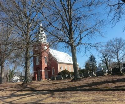
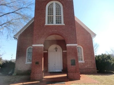
Christ Church King and Queen Parish at a distance image. Click for full size.
Photographed By Don Morfe, February 11, 2015
3. Christ Church King and Queen Parish at a distance
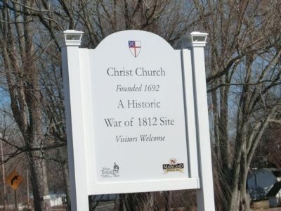
Christ Church King and Queen Parish -War of 1812 image. Click for full size.
Photographed By Don Morfe, February 11, 2015
4. Christ Church King and Queen Parish -War of 1812
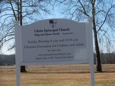
Sign at entrance to the Christ Church King and Queen Parish image. Click for full size.
Photographed By Don Morfe, February 11, 2015
5. Sign at entrance to the Christ Church King and Queen Parish
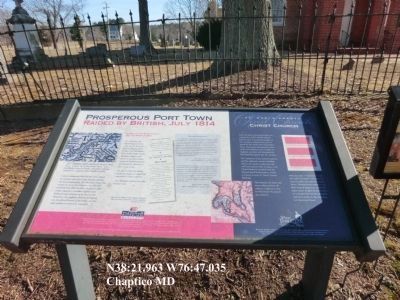
Christ Church King and Queen Parish-Prosperous Town marker image. Click for full size.
Photographed By Don Morfe, February 11, 2015
6. Christ Church King and Queen Parish-Prosperous Town marker
Christ Church King and Queen Parish Marker image. Click for full size.
Photographed By Don Morfe, February 11, 2015
7. Christ Church King and Queen Parish Marker
 
 
Credits. This page was last revised on June 16, 2016. It was originally submitted on March 1, 2015, by Don Morfe of Baltimore, Maryland. This page has been viewed 404 times since then and 21 times this year. Photos:   1, 2, 3, 4, 5, 6, 7. submitted on March 1, 2015, by Don Morfe of Baltimore, Maryland. • Bill Pfingsten was the editor who published this page.
Share this page.  
Share on Tumblr
m=81168

CeraNet Cloud Computing sponsors the Historical Marker Database.
This website earns income from purchases you make after using our links to Amazon.com. We appreciate your support.
Paid Advertisement
Apr. 18, 2024