King George in King George County, Virginia — The American South (Mid-Atlantic)
All that Glitters
Captain John Smith Chesapeake National Historic Trail
(panel 1)
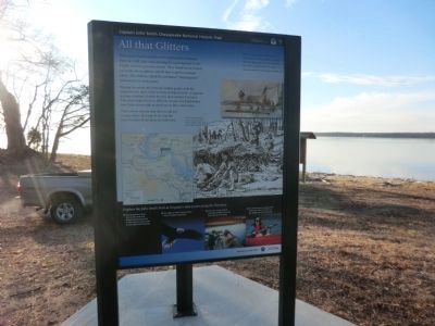
All that Glitters
When John Smith and his crew explored the Potomac River in 1608, they were looking for a passageway to the Pacific and for precious metals. They heard about a black ore with silvery glitters, which they hoped contained silver. The Indians called the substance “matchqueon” and used it for body paint.
Passing this point, the Potomac Indian guides took the explorers to a mine in the vicinity of Aquia Creek—a rigorous journey of about 18 miles by river and another 8 by land. The return trip was more difficult, because the Englishmen were laden down with as much ore as they could carry.
Their efforts were in vain: the ore did not contain silver. The type of ore and the exact location of the mine are unknown.
“With so much as we could carry we returned to our boat, kindly requiring this kind king and all his kind people…But all we got proved of no value.”. —Captain John Smith, The General History of Virginia, 1624.
(caption)
(lower right) Indians washed the black ore in a stream to extract a glittery substance they used for decorative body paint.
(panel 2)
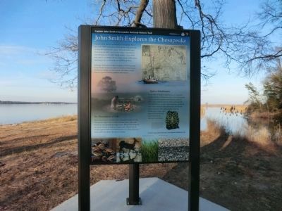
John Smith Explores the Chesapeake
Captain John Smith explored the Chesapeake Bay in the early 1600s seeking precious metals and a passage to Asia. He traveled the James, Chickahominy, and York rivers in 1607, and led two major expeditions from Jamestown in 1608. Smith and his crew sailed and rowed a primitive 30-foot boat nearly 3,000 miles, reaching as far north as the Susquehanna River.
Although Smith did not discover gold, or a river passage to the Pacific, his precise map and detailed observations of American Indian societies and the abundant natural resources guided future explorers and settlers.
An Abundance of Life
Smith discovered a treasure trove of natural wonders in the Chesapeake region: thick forests of giant pines, oaks, and hickories; vast marshlands, huge turtles, 800-pound sturgeon, and great schools of shad and striped bass. Massive flocks of ducks, geese, and swans darkened the sky, and enormous oyster reefs rose above the water’s surface.
Native Inhabitants
At the time of Smith’s explorations, an estimated 50,000 American Indians dwelled in the Chesapeake region---as their ancestors had for thousands of years. Their sophisticated societies included arts and architecture, systems of government, extensive trade and communication networks, and shared spiritual beliefs. The native peoples hunted, fished, grew crops, and gathered food and raw materials from the land and waterways.
(captions)
(upper right) Smith’s remarkably accurate map of the Chesapeake Bay (published in 1612), and his spirited written accounts of a lush landscape inspired European migration.
(lower right) Decorative shells—such as those found on this ceremonial robe—were valuable in the American Indian's tradeing network that extended for hundreds of miles. This robe (which may have belonged to paramount chief Powhatan) was crafted from elk skins and adorned with more than 17,000 shells.
(panel 3)
Join the Adventure
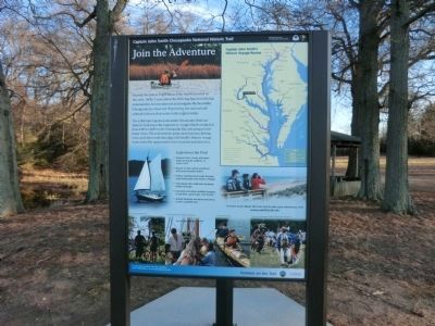
Explore the places Englishman John Smith traveled in the early 1600s. Learn about the thriving American Indian communities he encountered and imagine the bountiful Chesapeake he observed. Experience the natural and cultural richness that exists in the region today.
The 3,000-mile Captain John Smith Chesapeake National Historic Trail traces the exploratory voyages Smith conducted from 1607 to 1609 on the Chesapeake Bay and along several major rivers. The trail includes parks, museum sites, driving tours, and water trails that align with Smith’s historic voyage routes and offer opportunities for recreation and discovery.
Experience the Trail
• Explore rivers, coves, and open water by kayak, sailboat, or motor craft.
• Bicycle or hike along woodland trails and shoreline paths.
• Follow winding back roads through rural landscapes and historic villages.
• Visit places that celebrate American Indian heritage.
• See birds and other wildlife foraging in marshes, waterways, and forests.
• Attend festivals and demonstrations, or join a guided tour.
To learn more about the trail and to plan your adventure, visit www.smithtrail.net
(captions)
(upper right) Captain John Smith’s Historic Voyage Routes. “Here are mountains, hills, plains, valleys, rivers, and brooks all running most pleasantly into a faire Bay compassed but for the mouth with fruitful and delightsome land.” —John Smith, 1612
(bottom) Overlooking the Susquehanna River; Students aboard Discovery at Jamestown Settlement; Kayakers explore the trail; Indian dance demonstration at Jefferson Patterson Park and Museum.
Erected by National Park Service, U.S. Department of the Interior.
Topics and series. This historical marker is listed in these topic lists: Colonial Era • Exploration • Native Americans. In addition, it is included in the Captain John Smith Chesapeake National Historic Trail series list. A significant historical year for this entry is 1608.
Location. 38° 21.825′ N, 77° 8.537′ W. Marker is in King George, Virginia, in
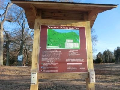
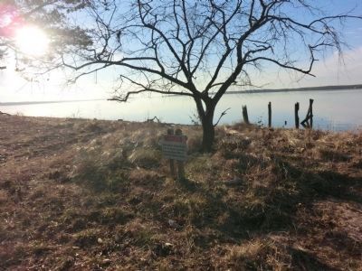
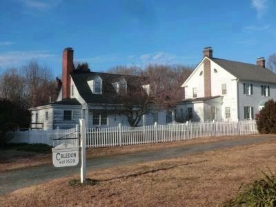
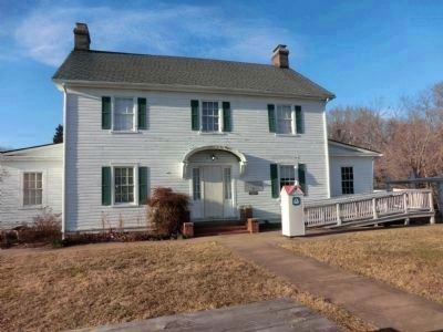
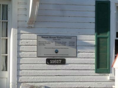
King George County. Marker can be reached from Caledon State Park Road, 3.6 miles north of Caledon Road (Virginia Route 218). The marker is located in Caledon State Park. It is three miles from the visitor center and can be reached only by walking the trail-road. Only park vehicles are allowed on the trail-road. Touch for map. Marker is at or near this postal address: 11617 Caledon Road, King George VA 22485, United States of America. Touch for directions.
Other nearby markers. At least 8 other markers are within 7 miles of this marker, measured as the crow flies. Cleydael (approx. 3.3 miles away); "Efton Hills" (approx. 5.9 miles away in Maryland); Ralph Bunche High School (approx. 6.3 miles away); Friendship House...one of Charles County's Oldest (approx. 6.4 miles away in Maryland); Hanover Baptist Church (approx. 6˝ miles away); Bald Eagle (approx. 6˝ miles away in Maryland); Civil War Action At Mathias Point (approx. 6.8 miles away); Marmion (approx. 6.9 miles away). Touch for a list and map of all markers in King George.
Also see . . . Captain John Smith Chesapeake National Historic Trail. National Park Service (Submitted on March 4, 2015.)
Credits. This page was last revised on June 16, 2016. It was originally submitted on March 3, 2015, by Don Morfe of Baltimore, Maryland. This page has been viewed 613 times since then and 45 times this year. Photos: 1, 2, 3, 4, 5, 6, 7, 8, 9, 10, 11. submitted on March 3, 2015, by Don Morfe of Baltimore, Maryland. • Bernard Fisher was the editor who published this page.
