Overlea in Baltimore County, Maryland — The American Northeast (Mid-Atlantic)
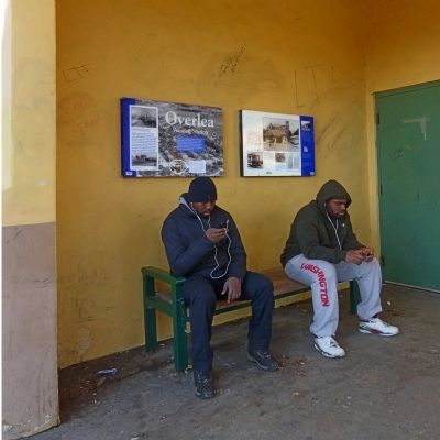
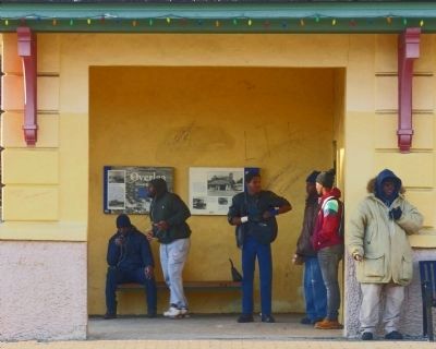
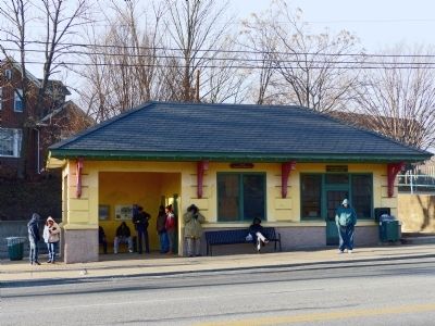
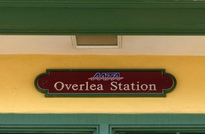
Overlea Waiting Station
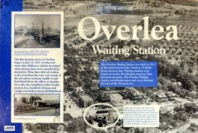
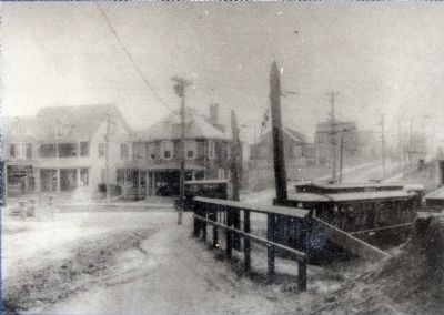
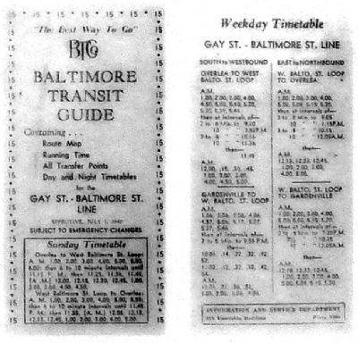
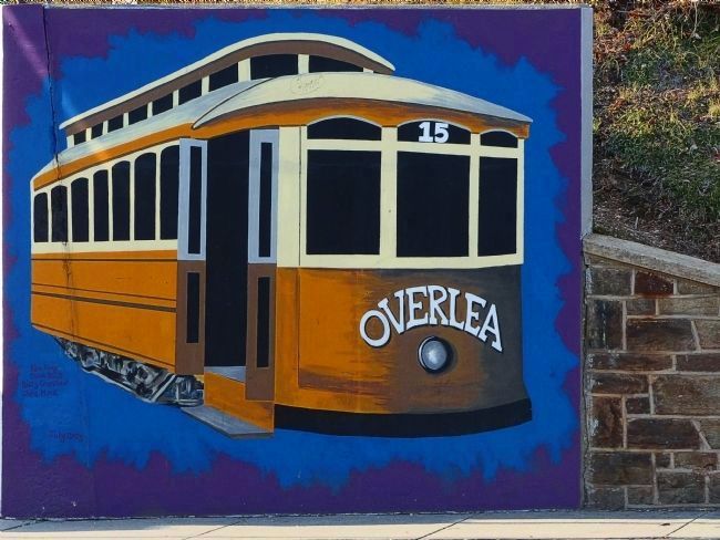
The first streetcar service to Overlea began on July 14, 1903. Overlea and many other Baltimore suburbs developed when streetcar lines were extended from downtown. These lines allowed workers to live away from the noise and crowds of the city and commute rapidly to and from their jobs in city offices of factories. Soon after the completion of the Overlea streetcar line, hundreds of houses and cottages were built on streets off Belair Road.
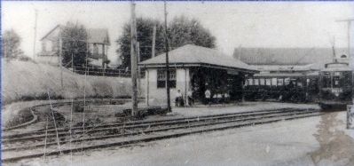
The Overlea Waiting Station was built in 1917 at the turnaround of the Number 15 Belair streetcar line. Waiting stations were found on nearly all suburban streetcar lines but most are gone. The Overlea Waiting Station served passengers and crews through the end of the streetcar era.
Erected by The Maryland Transit Administration (MTA).
Topics. This historical marker is listed in these topic lists: Railroads & Streetcars • Roads & Vehicles. A significant historical month for this entry is July 1723.
Location. 39° 21.418′ N, 76° 31.706′ W. Marker is in Overlea, Maryland, in Baltimore County. Marker can be reached from the intersection of Belair Road (U.S. 1) and West Overlea Road, on the right. Touch for map. Marker is at or near this postal address: 6859-6899 Belair Road, Baltimore MD 21206, United States of America. Touch for directions.
Other nearby markers. At least 8 other markers are within 3 miles of this marker , measured as the crow flies. Women's Suffrage (within shouting distance of this marker); Lt. Owen E. Sweeney, Jr. Memorial (approx. 0.8 miles away); American Gun (approx. one mile away); British Gun 5" (approx. one mile away); Parkville Park Reservation (approx. 1˝ miles away); Parkville All Wars Memorial (approx. 1˝ miles away); V.F.W. Parkville Post 9083 (approx. 1˝ miles away); Taylor’s Chapel (approx. 2.6 miles away).
Photographed By Allen C. Browne, January 17, 2015
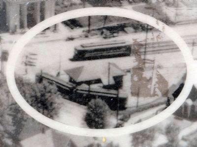
7. Aerial view of Overlea, 1923.
The Overlea Waiting Station is in the center foreground across Belair Road from the Overlea Bank (present First Union Bank). A streetcar is approaching the station on tracks in the middle of Belair Road, while two other cars are parked behind the station. The Rosedale neighborhood at the top of the photograph, was open farmland. Detail of photo on marker
Photographed By Allen C. Browne, January 17, 2015
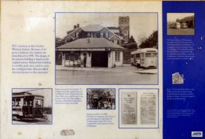
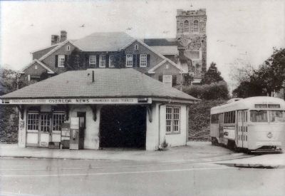
8. PCC Streetcar at the Overlea Waiting Station.
Because of its poor condition, the station was demolished in 1998. The design of the present building is based on the original station. Behind this building is a trolley pole once used to carry the overhead wires that provided electrical power to the streetcars. Close-up of photo on marker
Photographed By Allen C. Browne, January 17, 2015
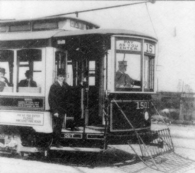
9. Semi-Convertible
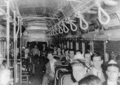
Early Streetcars on Number 15 Overlea Line were called Semi-convertibles. In warm weather, the windows of the cars could be raised into pockets in the roof. These dapper crewmen welcomed Overlea riders aboard their semi-convertible. Close-up of photo on marker
Photographed By Allen C. Browne, January 17, 2015
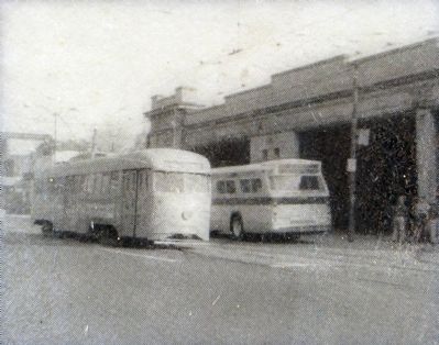
11. The End of an Era.
A PCC passes a new GM coach 2007 in front of the York Road carhouse shortly before the changeover from streetcars to buses. The Number 15 Overlea line and the Number 8 Towson Catonsville line were the last streetcar lines to operate in Baltimore. Both were discontinued on the same day, November 2,1963. Close-up of photo on marker
Credits. This page was last revised on April 21, 2022. It was originally submitted on March 8, 2015, by Allen C. Browne of Silver Spring, Maryland. This page has been viewed 1,143 times since then and 46 times this year. Last updated on March 3, 2018, by Devry Becker Jones of Washington, District of Columbia. Photos: 1, 2, 3, 4, 5, 6, 7, 8, 9, 10, 11, 12, 13, 14, 15. submitted on March 8, 2015, by Allen C. Browne of Silver Spring, Maryland. • Andrew Ruppenstein was the editor who published this page.
