Maryville in Blount County, Tennessee — The American South (East South Central)
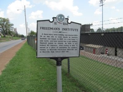
Freedman's Institute
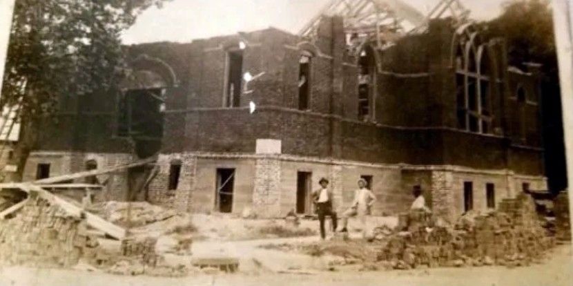
A three-story brick building was erected 1872-74 on this site to train blacks as teachers. Institute was begun in 1867, in a log house ˝ mile north, and later moved into a new building, financed mainly by friends. By 1879, it had trained 80 teachers. After closing in 1901, it served as a place of quarantine for smallpox victims, as Maryville Polytechnic (1904-26) and as Maryville High School (1927–38).
Erected by Tennessee Historical Commission. (Marker Number 1E 104.)
Topics and series. This historical marker is listed in this topic list: Notable Buildings. In addition, it is included in the Tennessee Historical Commission series list. A significant historical year for this entry is 1867.
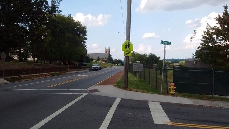
Location. 35° 44.886′ N, 83° 58.809′ W. Marker is in Maryville, Tennessee, in Blount County. Marker is at the intersection of South Cedar Street and West Broadway Avenue (U.S. 411), on the right when traveling north on South Cedar Street. Touch for map. Marker is at or near this postal address: 111 South Cedar Street, Maryville TN 37803, United States of America. Touch for directions.
Other nearby markers. At least 8 other markers are within walking distance of this marker. The Glascock House (within shouting distance of this marker); Maryville Polytechnic School (about 500 feet away, measured in a direct line); Sam Houston Statue (approx. 0.3 miles away); Pride Mansion (approx. 0.4 miles away); Relief of Knoxville (approx. 0.4 miles away); Montvale Springs (approx. 0.4 miles away); William Bennett Scott, Sr. (approx. half a mile away); New Providence Church (approx. 0.6 miles away). Touch for a list and map of all markers in Maryville.

via Freedman's Museum Project, unknown
3. Freedmen Institute Museum Project
Project website homepage
Click for more information.
Click for more information.
Credits. This page was last revised on April 9, 2022. It was originally submitted on August 27, 2012, by Judith Barber of Marietta, Georgia. This page has been viewed 1,006 times since then and 116 times this year. Last updated on March 12, 2015, by J. Makali Bruton of Accra, Ghana. Photos: 1. submitted on August 27, 2012, by Judith Barber of Marietta, Georgia. 2. submitted on September 4, 2017, by Tom Bosse of Jefferson City, Tennessee. 3. submitted on April 9, 2022, by Larry Gertner of New York, New York. • Bill Pfingsten was the editor who published this page.

