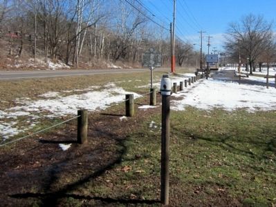
Dunbar in Kanawha County, West Virginia — The American South (Appalachia)
Andrew & Charles Lewis March
Erected 1982 by West Virginia Department of Culture and History.
Topics and series. This historical marker is listed in this topic list: Colonial Era. In addition, it is included in the West Virginia Archives and History series list. A significant historical date for this entry is October 10, 1884.
Location. Marker is missing. It was located near 38° 22.807′ N, 81° 45.559′ W. Marker was in Dunbar, West Virginia, in Kanawha County. Marker was on Fairlawn Avenue east of Lincoln Avenue, on the right when traveling east. Touch for map. Marker was in this post office area: Dunbar WV 25064, United States of America. Touch for directions.
Other nearby markers. At least 8 other markers are within walking distance of this location. Indian Mound / Mounds-Earthworks (a few steps from this marker); Sgt Deforest L. Talbert (approx. 0.3 miles away); Veterans Memorial (approx. 0.3 miles away); James Edwin Campbell (approx. 0.3 miles away); John H. Hill (approx. 0.3 miles away); J. McHenry Jones (approx. 0.3 miles away); Brian O. Hemphill (approx. 0.3 miles away); Byrd Prillerman (approx. 0.3 miles away).
Credits. This page was last revised on June 16, 2016. It was originally submitted on March 13, 2015, by Bernard Fisher of Richmond, Virginia. This page has been viewed 305 times since then and 8 times this year. Photo 1. submitted on March 13, 2015, by Bernard Fisher of Richmond, Virginia.
