Near Crowell in Foard County, Texas — The American South (West South Central)
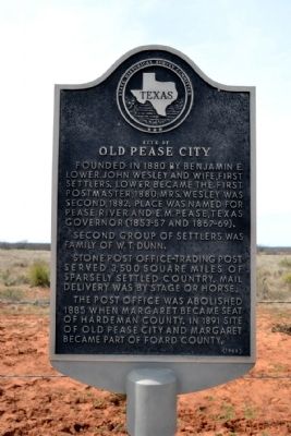
Site of Old Pease City
Founded in 1880 by Benjamin E. Lower, John Wesley and wife, first settlers. Lower became the first postmaster, 1880; Mrs. Wesley was second, 1882. Place was named for Pease River and E.M. Pease, Texas Governor (1853-57 and 1867-69).
Second group of settlers was family of W.T. Dunn.
Stone post office–trading post served 3,500 square miles of sparsely settled country. Mail delivery was by stage or horse.
The post office was abolished 1885 when Margaret became seat of Hardeman County. In 1891 site of old Pease City and Margaret became part of Foard County.
Erected 1968 by State Historical Survey Committee. (Marker Number 4856.)
Topics and series. This historical marker is listed in these topic lists: Communications • Settlements & Settlers. In addition, it is included in the Postal Mail and Philately series list. A significant historical year for this entry is 1880.
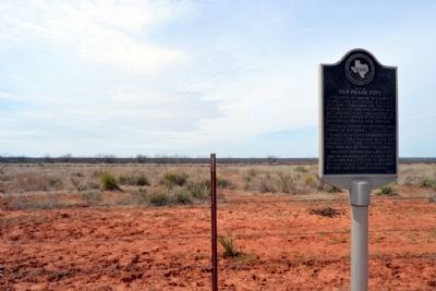
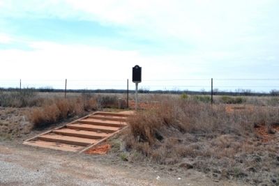
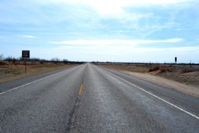
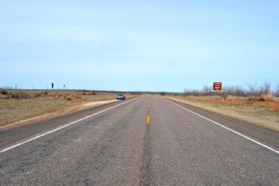
Location. 34° 3.698′ N, 99° 43.492′ W. Marker is near Crowell, Texas, in Foard County. Marker is on State Highway 6, 0.4 miles north of Farm to Market Road 3103, on the left when traveling north. Touch for map. Marker is in this post office area: Crowell TX 79227, United States of America. Touch for directions.
Other nearby markers. At least 8 other markers are within 6 miles of this marker, measured as the crow flies. Foard County (approx. 2.4 miles away); Crowell Schools (approx. 4.9 miles away); First Christian Church (approx. 5.2 miles away); Quanah Parker Trail (approx. 5.2 miles away); Robert L. Foard (approx. 5.4 miles away); Foard Co (approx. 5.4 miles away); Foard County Courthouse (approx. 5.4 miles away); First Officials of Foard County (approx. 5.4 miles away). Touch for a list and map of all markers in Crowell.
Credits. This page was last revised on November 10, 2020. It was originally submitted on March 13, 2015, by Duane Hall of Abilene, Texas. This page has been viewed 650 times since then and 53 times this year. Photos: 1, 2, 3, 4, 5. submitted on March 13, 2015, by Duane Hall of Abilene, Texas.
