Greeneville in Greene County, Tennessee — The American South (East South Central)
Capitol of State of Franklin
Inscription.
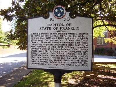
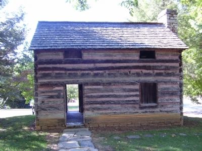
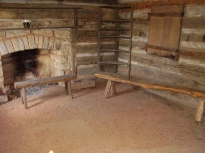
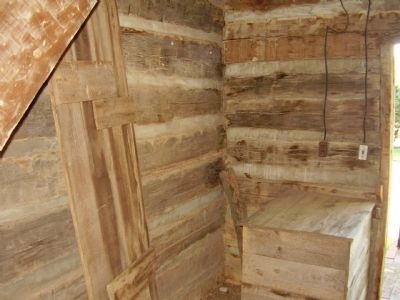
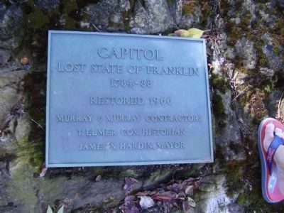
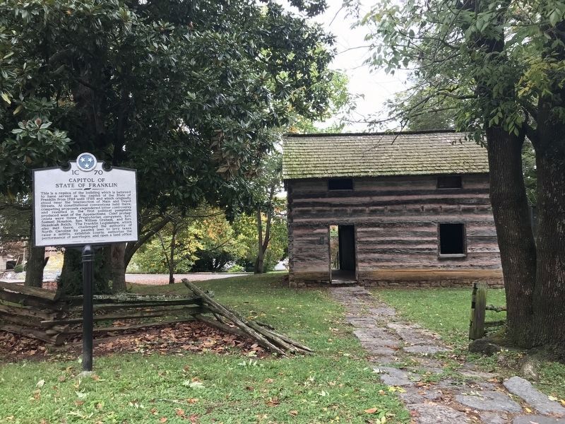
This is a replica of the building which is believed to have served as the capitol of the State of Franklin from 1785 until 1788 and which originally stood near the intersection of Main and Depot Streets. At constitutional conventions held there, competing proposals engendered bitter controversy and resulted in the first political pamphlets produced west of the Appalachians. Chief protagonists were three Presbyterian clergymen, Rev. Samuel Houston, Rev. William Graham, and Rev. Hezekiah Balch. The Franklin Legislature, which also met there, challenged the authority of North Carolina by passing laws to levy taxes, raise a militia, establish courts, authorize the performance of marriages, and open a land office.
Erected by Tennessee Historical Commission. (Marker Number 1C 70.)
Topics and series. This historical marker is listed in these topic lists: Colonial Era • Settlements & Settlers. In addition, it is included in the Tennessee Historical Commission series list. A significant historical year for this entry is 1785.
Location. 36° 9.861′ N, 82° 49.712′ W. Marker is in Greeneville, Tennessee, in Greene County. Touch for map. Marker is at or near this postal address: 204 N College St, Greeneville TN 37744, United States of America. Touch for directions.
Other nearby markers. At least 8 other markers are within walking distance of this marker. Winter Headquarters (within shouting distance of this marker); Andrew Johnson (within shouting distance of this marker); Greeneville, Tennessee (within shouting distance of this marker); Benjamin Lundy (about 300 feet away, measured in a direct line); The Big Spring (about 400 feet away); Old Harmony Graveyard (about 400 feet away); Ellen “Nelly” VanVactor (about 500 feet away); Greeneville Cumberland Presbyterian Church (about 500 feet away). Touch for a list and map of all markers in Greeneville.
Also see . . .
1. The Lost State of Franklin. (Submitted on October 14, 2009, by Bill Pfingsten of Bel Air, Maryland.)
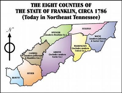
2. Wikipedia entry for the State of Franklin. “Rapidly increasing dissatisfaction with North Carolina’s governance led to the frontiersmen's calls to establish a separate, secure, and independent state. On August 23, 1784, delegates from the North Carolina counties of Washington (which at the time included present day Carter County), Sullivan, Spencer (now Hawkins County) and Greene—all of which are in present-day Tennessee—convened in the town of Jonesborough. There, they declared the lands to be independent of the State of North Carolina.” (Submitted on August 22, 2015.)
Credits. This page was last revised on January 17, 2021. It was originally submitted on October 9, 2009, by Stanley and Terrie Howard of Greer, South Carolina. This page has been viewed 1,852 times since then and 78 times this year. Last updated on March 17, 2015, by J. Makali Bruton of Accra, Ghana. It was the Marker of the Week August 23, 2015. Photos: 1, 2, 3, 4, 5. submitted on October 9, 2009, by Stanley and Terrie Howard of Greer, South Carolina. 6. submitted on August 22, 2015, by J. J. Prats of Powell, Ohio. 7. submitted on January 17, 2021, by Duane and Tracy Marsteller of Murfreesboro, Tennessee. • Bill Pfingsten was the editor who published this page.
