Panama City in Bay County, Florida — The American South (South Atlantic)
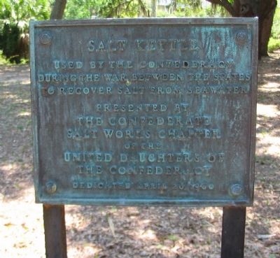
Salt Kettle
during the War Between the States
to recover salt from seawater
Presented by
The Confederate
Salt Works Chapter
of the
United Daughters of
the Confederacy
Dedicated April 20, 1960
Erected 1960 by Confederate Salt Works Chapter, United Daughters of the Confederacy.
Topics and series. This historical marker is listed in this topic list: War, US Civil. In addition, it is included in the United Daughters of the Confederacy series list. A significant historical date for this entry is April 20, 1865.
Location. 30° 9.996′ N, 85° 42.07′ W. Marker is in Panama City, Florida, in Bay County. Marker is at the intersection of Chestnut Avenue (Business U.S. 98) and West 9th Street, on the right when traveling north on Chestnut Avenue. Located in Oaks by the Bay park, in the St Andrews old town section of Panama City. Touch for map. Marker is in this post office area: Panama City FL 32401, United States of America. Touch for directions.
Other nearby markers. At least 8 other markers are within 3 miles of this marker, measured as the crow flies. The Old Sentry (here, next to this marker); Panama City Publishing Company (1920) (approx. 0.2 miles away); The St. Andrew Bay Saltworks (approx. 1.1 miles away); Oakland Cemetery (approx. 1˝ miles away); John Christo, Senior (approx. 1.6 miles away); Robert Lee McKenzie's Home and Office (approx. 2.6 miles away); The Page Building (approx. 2.6 miles away); The Gideon Versus Wainwright Case (approx. 2.7 miles away). Touch for a list and map of all markers in Panama City.
Photographed By Craig Swain, May 29, 2008
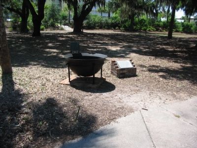
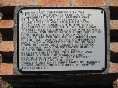
4. Salt Kettle Sign
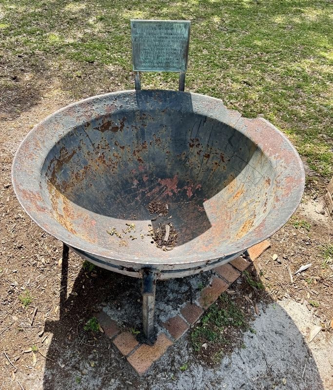
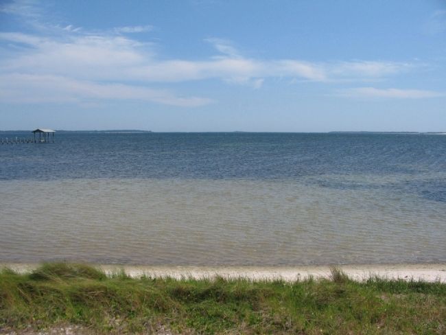
A significant contribution by the citizens of northwest Florida to the Confederate States of America was salt. A necessary preservative in those times. It was extracted from area bays by boiling until the water evaporated leaving salt. The salt was transported to Eufaula and Montgomery, Alabama, for distribution throughout the Confederate States. It sold for as much as $50 per bushel. The importance of the salt works to the Confederacy made them a target of the Union Navy. Union soldiers and sailors destroyed the works, and Confederates rebuilt them during most of the war between the states. This kettle was probably used for making syrup before the war but a "salt kettle" between 1861-65. The deep indentions on it were made by hammer blows when Union soldiers attempted to destroy it.
Photographed By Craig Swain, May 29, 2008
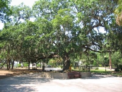
5. The Old Sentry
Near the Salt Kettle stands this oak tree, known as the Old Sentry. The sign in front of the oak states, "This Heritage Oak Tree is Estimated to be over 250 years old. It was standing during the War Between the States as if a sentry standing guard over Old St. Andrews Bay."
Credits. This page was last revised on April 18, 2024. It was originally submitted on June 6, 2008, by Craig Swain of Leesburg, Virginia. This page has been viewed 3,119 times since then and 112 times this year. Photos: 1, 2. submitted on June 6, 2008, by Craig Swain of Leesburg, Virginia. 3. submitted on April 17, 2024, by Brandon D Cross of Flagler Beach, Florida. 4, 5, 6. submitted on June 6, 2008, by Craig Swain of Leesburg, Virginia.
