Orange Beach in Baldwin County, Alabama — The American South (East South Central)
Orange Beach, Alabama
Front:
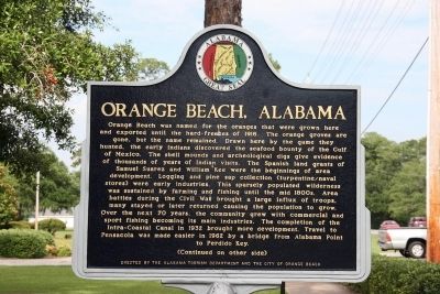
Orange Beach was named for the oranges that were grown here and exported until the hard-freezes of 1916. The orange groves are gone, but the name remained. Drawn here by the game they hunted, the early Indians discovered the seafood bounty of the Gulf of Mexico. The shell mounds and archeological digs give evidence of thousands of years of Indian visits. The Spanish land grants of Samuel Suarez and William Kee were the beginnings of area development. Logging and pine sap collection (turpentine/naval stores) were early industries. This sparsely populated wilderness was sustained by farming and fishing until the mid 1800s. Area battles during the Civil War brought a large influx of troops, many stayed or later returned causing the population to grow. Over the next 70 years, the community grew with commercial and sports fishing becoming its main industries. The completion of the Intra-Coastal Canal in 1932 brought more development. Travel to Pensacola was made easier in 1962 by a bridge from Alabama Point to Perdido Key.
(Continued on other side)
Reverse:
(Continued from other side)
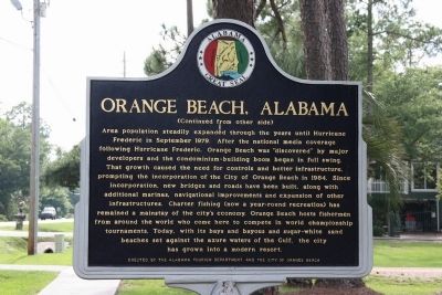
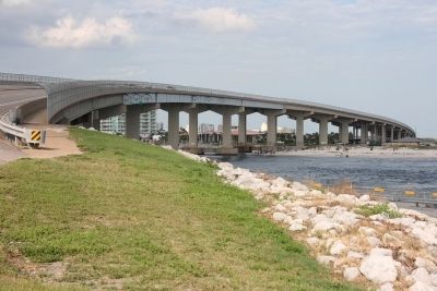
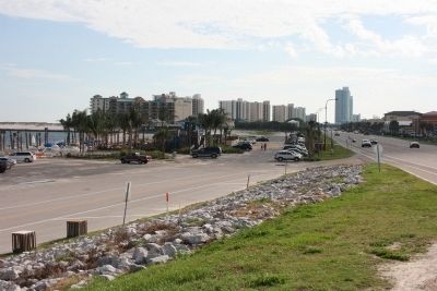
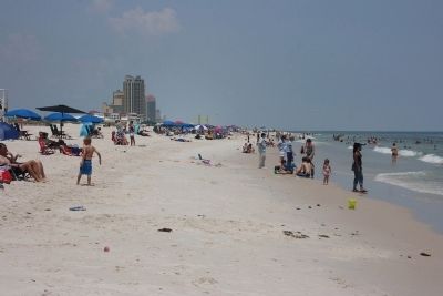
Area population steadily expanded through the years until Hurricane Frederic in September 1979. After the national media coverage following Hurricane Frederic, Orange Beach was “discovered” by major developers and the condominium-building boom began in full swing. That growth caused the need for controls and better infrastructure, prompting the incorporation of the City of Orange Beach in 1984. Since incorporation, new bridges and roads have been built, along with additional marinas, navigational improvements and expansion of other infrastructures. Charter fishing (now a year-round recreation) has remained a mainstay of the city’s economy. Orange Beach hosts fishermen from around the world who come here to compete in world championship tournaments. Today, with its bays and bayous and sugar-white sand beaches set against the azure waters of the Gulf, the city has grown into a modern resort.
Erected by Alabama Tourism Department and the City of Orange Beach.
Topics. This historical marker is listed in these topic lists: Entertainment • Settlements & Settlers. A significant historical month for this entry is September 1979.
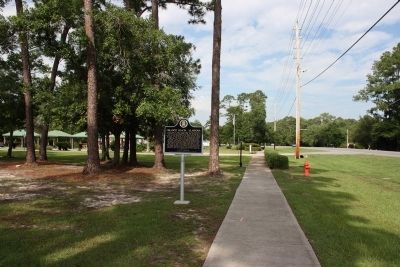
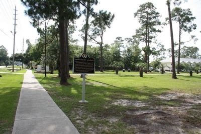
Location. 30° 17.535′ N, 87° 34.525′ W. Marker is in Orange Beach, Alabama, in Baldwin County. Marker is on Canal Road east of Nancy Lane, on the left when traveling east. Touch for map. Marker is at or near this postal address: 26389 Canal Road, Orange Beach AL 36561, United States of America. Touch for directions.
Other nearby markers. At least 8 other markers are within 6 miles of this marker, measured as the crow flies. Bay Circle (about 700 feet away, measured in a direct line); Orange Beach Municipal Complex (approx. 0.7 miles away); Perdido Pass (approx. 1.6 miles away); Orange Beach Community Cemetery (approx. 3.2 miles away); Josephine (approx. 3.4 miles away); Tampary (approx. 3˝ miles away in Florida); Romar Beach (approx. 3.6 miles away); Daphne United Methodist Church (approx. 5˝ miles away). Touch for a list and map of all markers in Orange Beach.
Photographed By TRCP Alliance, June 19, 2013
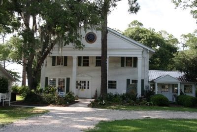
5. The Former Orange Beach Hotel
The Orange Beach Hotel was one of the first hotels to operate in the community dating back to the 1920's. Today, the building now serves as the Coastal Arts Center of Orange Beach. The Orange Beach, Alabama historical marker stands along the road in front of this building.
Credits. This page was last revised on June 16, 2016. It was originally submitted on June 27, 2013, by Timothy Carr of Birmingham, Alabama. This page has been viewed 2,310 times since then and 178 times this year. Last updated on March 23, 2015, by J. Makali Bruton of Accra, Ghana. Photos: 1, 2, 3, 4, 5, 6, 7, 8, 9, 10, 11. submitted on June 27, 2013, by Timothy Carr of Birmingham, Alabama. • Bill Pfingsten was the editor who published this page.
