Near Wingate in Runnels County, Texas — The American South (West South Central)
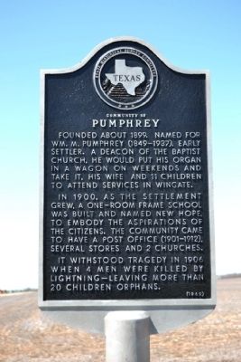
Community of Pumphrey
Founded about 1899. Named for Wm. M. Pumphrey (1849-1937), early settler. A deacon of the Baptist Church, he would put his organ in a wagon on weekends and take it, his wife and 11 children to attend services in Wingate.
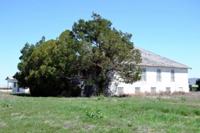
In 1900, as the settlement grew, a one-room frame school was built and named New Hope, to embody the aspirations of the citizens. The community came to have a post office (1901-1912), several stores and 2 churches.
It withstood tragedy in 1906 when 4 men were killed by lightning–leaving more than 20 children orphans.
Erected 1969 by State Historical Survey Committee. (Marker Number 4137.)
Topics. This historical marker is listed in these topic lists: Disasters • Settlements & Settlers. A significant historical year for this entry is 1899.
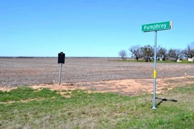
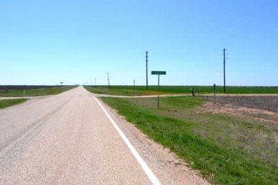
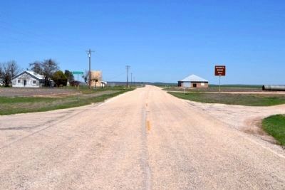
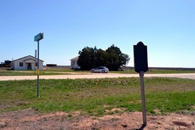
Location. 32° 2.344′ N, 100° 2.327′ W. Marker is near Wingate, Texas, in Runnels County. Marker is at the intersection of Farm to Market Road 1677 and County Road 309, on the right when traveling south on Road 1677. Marker is at northwest corner of intersection. Touch for map. Marker is in this post office area: Winters TX 79567, United States of America. Touch for directions.
Other nearby markers. At least 8 other markers are within 7 miles of this marker, measured as the crow flies. Drasco Community (approx. 4 miles away); Poe Chapel (approx. 5.6 miles away); Site of Old Communities of Mazeland and Wilmeth (approx. 6.4 miles away); St. John's Lutheran Church (approx. 6.7 miles away); Old Cotton Oil Mill (approx. 6.7 miles away); Robert Cooke, M.D. (approx. 6.7 miles away); Winters Korean Veterans Memorial (approx. 6.7 miles away); Winters Brass Band (approx. 6.7 miles away).
Also see . . . Pumphrey, TX. From the Texas State Historical Association’s “Handbook of Texas Online”. (Submitted on March 25, 2015.)
Credits. This page was last revised on November 28, 2020. It was originally submitted on March 25, 2015, by Duane Hall of Abilene, Texas. This page has been viewed 440 times since then and 25 times this year. Photos: 1, 2, 3, 4, 5, 6. submitted on March 25, 2015, by Duane Hall of Abilene, Texas.
