Yosemite National Park in Mariposa County, California — The American West (Pacific Coastal)
Yosemite Valley
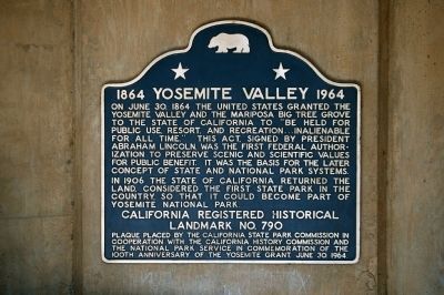
1864-1964
Erected 1964 by California State Park Commission, the California History Commission, and the National Park Service. (Marker Number 790.)
Topics and series. This historical marker is listed in this topic list: Environment. In addition, it is included in the California Historical Landmarks, and the Former U.S. Presidents: #16 Abraham Lincoln series lists. A significant historical month for this entry is June 2005.
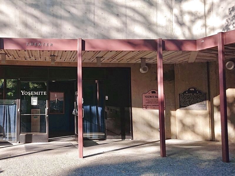
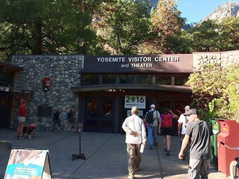
Location. 37° 44.918′ N, 119° 35.234′ W. Marker is in Yosemite National Park, California, in Mariposa County. Marker can be reached from Village Drive north of Northside Drive. Marker is located in the courtyard of the Yosemite Visitor Center in Yosemite Village. Touch for map . Marker is at or near this postal address: 9035 Village Dr, Yosemite National Park CA 95389, United States of America. Touch for directions.
Other nearby markers. At least 8 other markers are within walking distance of this marker. Yosemite National Park (within shouting distance of this marker); Big Tree (within shouting distance of this marker); A Home for Rangers (about 400 feet away, measured in a direct line); James Hutchings (approx. 0.3 miles away); Early Tourism (approx. 0.3 miles away); The Story of Half Dome (approx. 0.4 miles away); Reawakening the Meadow (approx. 0.4 miles away); The Old Yosemite Village (approx. 0.4 miles away). Touch for a list and map of all markers in Yosemite National Park.
Regarding Yosemite Valley. Click on "Nearby Markers" to view photos of Yosemite Valley, Half Dome and the waterfalls.
Credits. This page was last revised on November 4, 2023. It was originally submitted on March 25, 2015, by Eric Polk of Lakewood, California. This page has been viewed 564 times since then and 23 times this year. Photos: 1. submitted on March 25, 2015, by Eric Polk of Lakewood, California. 2. submitted on November 4, 2023, by Craig Baker of Sylmar, California. 3. submitted on February 15, 2022, by Adam Margolis of Mission Viejo, California. • Syd Whittle was the editor who published this page.


