Fort Stockton in Pecos County, Texas — The American South (West South Central)
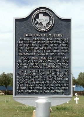
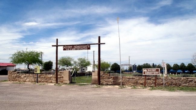
Old Fort Cemetery
Troops here protected the San Antonio-San Diego mail line and quelled Indian raids into Mexico on the infamous Comanche Trail.
This cemetery testifies to the hardships of frontier life: no headstone was erected for a person over 40. In 1888 (after the fort was permanently closed in 1886), remains of the 56 soldiers buried here were moved to Fort Sam Houston in San Antonio.
Erected 1968 by State Historical Survey Committee. (Marker Number 3731.)
Topics and series. This historical marker is listed in these topic lists: Cemeteries & Burial Sites • Forts and Castles • Wars, US Indian. In addition, it is included in the San Antonio-El Paso Road series list. A significant historical year for this entry is 1859.
Location. 30° 53.502′ N, 102° 52.683′ W. Marker is in Fort Stockton, Texas, in Pecos County. Marker is at the intersection of North Water Street and East 8th Street, on the left when traveling north on North Water Street. Touch for map. Marker is in this post office area: Fort Stockton TX 79735, United States of America. Touch for directions.
Other nearby markers. At least 8 other markers are within walking distance of this marker. Historic Fort Stockton Cemetery (a few steps from this marker); Downtown Fort Stockton (about 500 feet away, measured in a direct line); The "Prairie Schooner" and Early Settlers (about 700 feet away); Oil and Gas Industry in Pecos County (approx. 0.2 miles away); Visitor Center (approx. 0.2 miles away); Comanche Springs (approx. 0.2 miles away); The 9th Cavalry, Fort Stockton and Edward Hatch (approx. 0.2 miles away); Pecos County Fort Stockton Renewable Energy Park (approx. 0.2 miles away). Touch for a list and map of all markers in Fort Stockton.
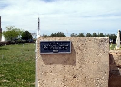
More about this marker. Site entered in the National Register of Historic Places in 1973.
Credits. This page was last revised on October 4, 2019. It was originally submitted on April 11, 2015, by William F Haenn of Fort Clark (Brackettville), Texas. This page has been viewed 523 times since then and 11 times this year. Photos: 1, 2, 3. submitted on April 11, 2015, by William F Haenn of Fort Clark (Brackettville), Texas. • Bernard Fisher was the editor who published this page.


