Forest Hills in Prince George's County, Maryland — The American Northeast (Mid-Atlantic)
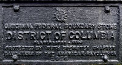
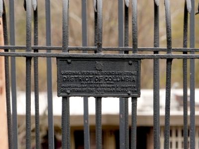
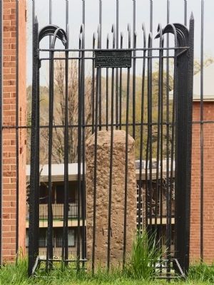
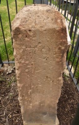
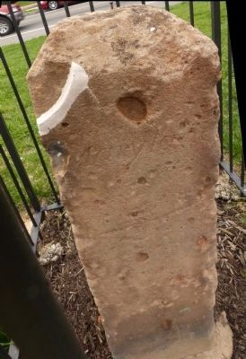
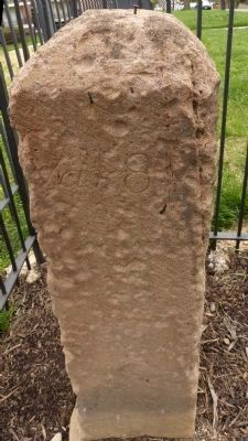
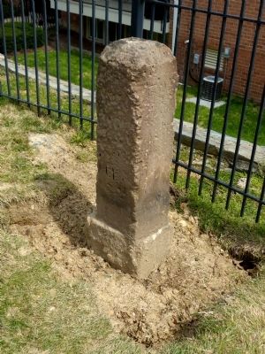
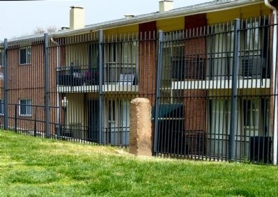
Original Federal Boundary Stone, District of Columbia, Southeast 3
District of Columbia
Placed 1791-1792
Protected by Ruth Brewster Chapter
Daughters of the American Revolution
1916
Erected 1916 by The Ruth Brewster Chapter, Daughters of the American Revolution.
Topics and series. This historical marker is listed in this topic list: Political Subdivisions. In addition, it is included in the Daughters of the American Revolution, and the Original Federal Boundary Stones series lists. A significant historical year for this entry is 1916.
Location. 38° 51.73′ N, 76° 56.915′ W. Marker is in Forest Hills, Maryland, in Prince George's County. Marker is on Southern Avenue Southeast north of Suitland Terrace Southeast, on the right when traveling north. Touch for map. Marker is at or near this postal address: 3911 Southern Avenue Southeast, Washington DC 20020, United States of America. Touch for directions.
Other nearby markers. At least 8 other markers are within 2 miles of this marker, measured as the crow flies. Fort Davis (approx. 0.3 miles away in District of Columbia); a different marker also named Fort Davis (approx. 0.3 miles away in District of Columbia); Fort DuPont (approx. 0.9 miles away in District of Columbia); a different marker also named Fort DuPont (approx. 0.9 miles away in District of Columbia); Original Federal Boundary Stone, District of Columbia, Southeast 2 (approx. one mile away); Original Federal Boundary Stone, District of Columbia, Southeast 4 (approx. one mile away); Allen Chapel AME Church Stormwater Features (approx. 1.2 miles away in District of Columbia); First Rock Baptist Church (approx. 1.3 miles away in District of Columbia).
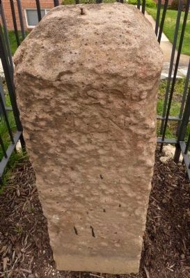
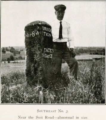
More about this marker. “S. E. No. 3 is unique and stands on the slope of an open valley overlooking Oxon Run. It is thirty-seven inches finished, and six inches rough, or forty-three inches in all out of the ground. It stands in a garden, east of the suit, or as it was formerly called, the Suitland Road. It is leaning slightly and the inscription is partially defaced by the action of the elements. The date is 1792 and the variation of the magnetic compass 0° 8' West. We are at a loss to know why this abnormal stone was placed here. It may be that this was intended for the west corner, near Falls Church, Virginia, and that the stone cutter made a mistake in lettering. This seems probable from the fact that the stone at the west corner is only twenty-four inches out of the ground, the same design as the intermediate stones.” — Fred Woodward, 1907, A Ramble along the Boundary Stones of the District of Columbia with a Camera.
Credits. This page was last revised on August 16, 2020. It was originally submitted on April 16, 2015, by Allen C. Browne of Silver Spring, Maryland. This page has been viewed 478 times since then and 15 times this year. Last updated on August 15, 2020, by Roberto Bernate of Arlington, Virginia. Photos: 1, 2, 3, 4, 5, 6, 7, 8, 9, 10. submitted on April 16, 2015, by Allen C. Browne of Silver Spring, Maryland. • Devry Becker Jones was the editor who published this page.
