Sevierville in Sevier County, Tennessee — The American South (East South Central)
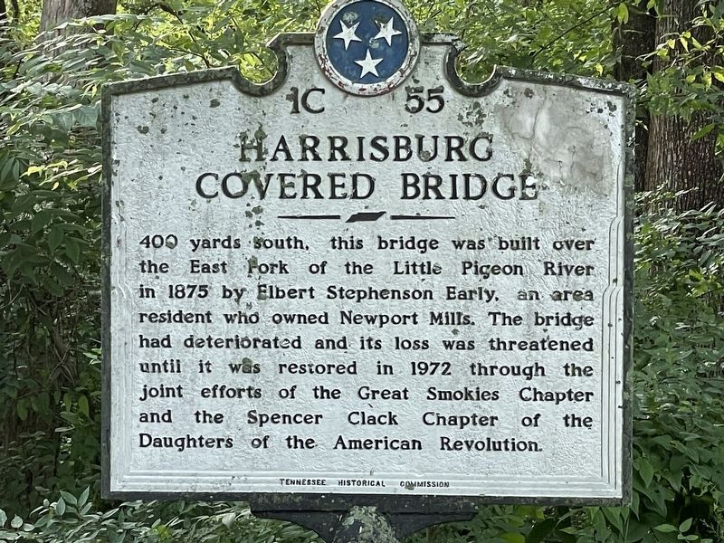
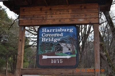
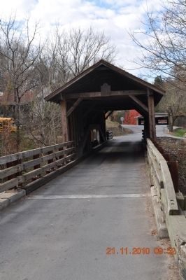
Harrisburg Covered Bridge
400 yards south, this bridge was built over the East Fork of the Little Pigeon River in 1875 by Elbert Stephenson Early, an area resident who owned Newport Mills. The bridge had deteriorated and its loss was threatened until it was restored in 1972 through the joint efforts of the Great Smokies Chapter and the Spencer Clack Chapter of the Daughters of the American Revolution.
Erected by Tennessee Historical Commission. (Marker Number 1C 55.)
Topics and series. This historical marker is listed in this topic list: Bridges & Viaducts. In addition, it is included in the Covered Bridges, the Daughters of the American Revolution, and the Tennessee Historical Commission series lists. A significant historical year for this entry is 1875.
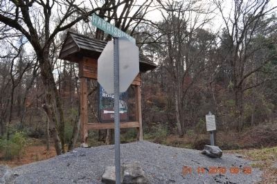
Location. 35° 51.662′ N, 83° 28.936′ W. Marker is in Sevierville, Tennessee, in Sevier County. Marker is at the intersection of Old Covered Bridge Road and Harrisburg Road on Old Covered Bridge Road. There are 3 markers to this bridge. One on entrance of Harrisburg Rd and the second one is in front of the bridge and the third is inside the bridge. Touch for map. Marker is in this post office area: Sevierville TN 37862, United States of America. Touch for directions.
Other nearby markers. At least 8 other markers are within 5 miles of this marker, measured as the crow flies. A different marker also named Harrisburg Covered Bridge (a few steps from this marker); a different marker also named Harrisburg Covered Bridge (a few steps from this marker); Battle of Fair Garden (approx. 0.9 miles away); Sweden Furnace (approx. 1.1 miles away); New Salem Baptist Church (approx. 4 miles away); a different marker also named New Salem Baptist Church (approx. 4 miles away); Middle Creek United Methodist Church & Settlement (approx. 4.2 miles away); Forks of Little Pigeon Church (approx. 4˝ miles away). Touch for a list and map of all markers in Sevierville.
Credits. This page was last revised on June 17, 2023. It was originally submitted on November 26, 2010, by Sandra Hughes Tidwell of Killen, Alabama, USA. This page has been viewed 813 times since then and 25 times this year. Last updated on April 22, 2015, by J. Makali Bruton of Accra, Ghana. Photos: 1. submitted on July 22, 2022, by Robbie Boquet of Baton Rouge, Louisiana, USA. 2, 3, 4, 5. submitted on November 26, 2010, by Sandra Hughes Tidwell of Killen, Alabama, USA. • Andrew Ruppenstein was the editor who published this page.
