Hamlin in Monroe County, New York — The American Northeast (Mid-Atlantic)
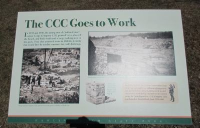
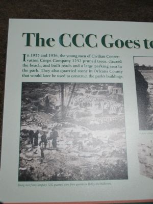
The CCC Goes to Work
Young men from Company 1252 quarried stone from quarries in Holley and Hulberton.
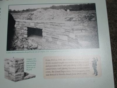
A stone culvert constructed in the park by the men of Company 1252. All photograpghs courtesy Hamlin Town Historian.
Company 1252 constructed three stone drinking fountains and 30 fire pits in the park.
From 1933 to 1942, the Civilian Conservation Corps (CCC) rescued roughly two million men from poverty and provided them with jobs doing sorely needed conservation work during America's worst economic crisis, the Great Depression. CCC Company 1252 was housed at Hamlin Beach from 1935-1941.
Erected by Hamlin Beach State Park.
Topics and series. This historical marker is listed in this topic list: Charity & Public Work. In addition, it is included in the Civilian Conservation Corps (CCC) series list. A significant historical year for this entry is 1935.
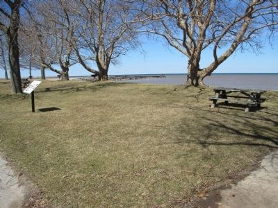
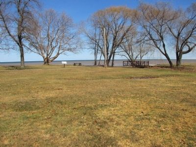
Location. 43° 21.801′ N, 77° 56.965′ W. Marker is in Hamlin, New York, in Monroe County. Marker can be reached from Hamlin Beach State Park Road, half a mile north of Lake Ontario Parkway. Marker is in Hamlin Beach State Park. It is north of Area 1 parking, on the walking path adjacent to the Lake Ontario Shore. Touch for map. Marker is in this post office area: Hamlin NY 14464, United States of America. Touch for directions.
Other nearby markers. At least 8 other markers are within 5 miles of this marker, measured as the crow flies. Building a Park (about 500 feet away, measured in a direct line); A New Park (approx. 0.2 miles away); The West Shelter (approx. ¼ mile away); Hamlin No. 14 (approx. 3 miles away); Norway Colony (approx. 3.4 miles away); First Settlers (approx. 3.8 miles away); Peerson Home (approx. 4.4 miles away); The Sloopers (approx. 4.9 miles away). Touch for a list and map of all markers in Hamlin.
Credits. This page was last revised on September 3, 2020. It was originally submitted on April 24, 2015, by Anton Schwarzmueller of Wilson, New York. This page has been viewed 295 times since then and 22 times this year. Photos: 1, 2, 3, 4, 5, 6. submitted on April 24, 2015, by Anton Schwarzmueller of Wilson, New York.
