Pigeon Island, Gros Islet, Saint Lucia — Caribbean Region (Lesser Antilles)
Musket Redoubt
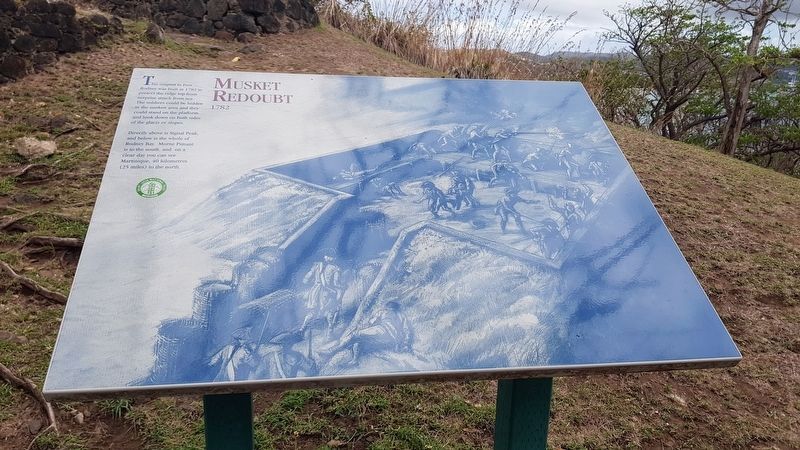
Musket Redoubt 1782
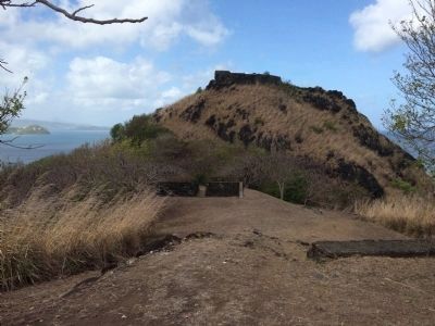
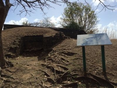
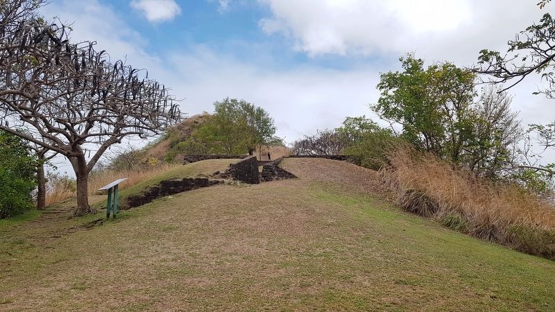
This outpost to Fort Rodney was built in 1782 to protect the ridge top from surprise attack from sea. The soldiers could be hidden in the sunken area and they could stand on the platform and look down on both sides of the glacis or slopes.
Directly above is Signal Peak, and below is the whole of Rodney Bay. Morne Pimant is to the south, and on a clear day you can see Martinique, 40 kilometers (25 miles) to the north.
Erected by Saint Lucia National Trust.
Topics. This memorial is listed in these topic lists: Colonial Era • Forts and Castles. A significant historical year for this entry is 1782.
Location. 14° 5.508′ N, 60° 57.966′ W. Marker is on Pigeon Island, Gros Islet. This marker is at Pigeon Island National Landmark, on the way from Fort Rodney up to Signal Peak. Touch for map. Marker is in this post office area: Pigeon Island, Gros Islet LC01 101, Saint Lucia. Touch for directions.
Other nearby markers. At least 8 other markers are within walking distance of this marker. U.S. Signal Station (within shouting distance of this marker); Fort Rodney (about 90 meters away, measured in a direct line); Josset's House (about 120 meters away); Carib Caves (about 150 meters away); Gunslide (about 210 meters away); Lime Kiln (about 210 meters away); Cooperage (approx. 0.3 kilometers away); C.O.'s Quarters (approx. 0.3 kilometers away). Touch for a list and map of all markers in Pigeon Island.
Credits. This page was last revised on April 22, 2018. It was originally submitted on April 26, 2015, by J. Makali Bruton of Accra, Ghana. This page has been viewed 548 times since then and 22 times this year. Photos: 1. submitted on April 22, 2018, by J. Makali Bruton of Accra, Ghana. 2, 3. submitted on April 26, 2015, by J. Makali Bruton of Accra, Ghana. 4. submitted on April 22, 2018, by J. Makali Bruton of Accra, Ghana. • Andrew Ruppenstein was the editor who published this page.


