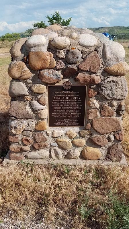
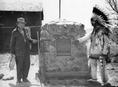
Near Golden in Jefferson County, Colorado — The American Mountains (Southwest)
Arapahoe City
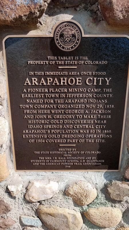
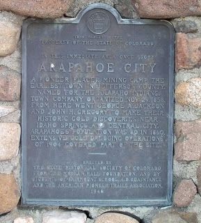
In this immediate area once stood
Arapahoe City
Erected by the State Historical Society of Colorado from the Mrs. J.N.Hall foundation and by students of Fairmount school, A.D. Odaintance and the American Pioneer Trails Association. 1946
Erected 1946 by State Historical Society of Colorado.
Topics and series. This historical marker is listed in these topic lists: Industry & Commerce • Settlements & Settlers. In addition, it is included in the Colorado - History Colorado series list. A significant historical date for this entry is October 29, 1858.
Location. 39° 46.5′ N, 105° 10.7′ W. Marker is near Golden, Colorado, in Jefferson County. Marker is on W 44th Ave (County Route 58) 0.1 miles west of McIntyre Street, on the left when traveling west. Touch for map. Marker is at or near this postal address: 1600 W 44th Ave, Golden CO 80403, United States of America. Touch for directions.
Other nearby markers. At least 8 other markers are within 3 miles of this marker, measured as the crow flies. Goosetown Tavern (approx. 2.4 miles away); Ferrell/Berthoud Home (Miners Hotel) (approx. 2.6 miles away); 700 Tenth Street (approx. 2.6 miles away); Horace Greeley’s Crossing Point (approx. 2.6 miles away); Greeley’s Crossing (approx. 2.6 miles away); Winter Wind on the Mesa (approx. 2.7 miles away); 1211 Washington Avenue (approx. 2.7 miles away); 1115 Washington Avenue (approx. 2.7 miles away). Touch for a list and map of all markers in Golden.
Credits. This page was last revised on June 23, 2018. It was originally submitted on May 3, 2015, by Richard Flint of Golden, Colorado. This page has been viewed 863 times since then and 46 times this year. Last updated on May 3, 2015, by Richard Flint of Golden, Colorado. Photos: 1, 2. submitted on June 22, 2018, by Richard Flint of Golden, Colorado. 3, 4. submitted on May 3, 2015, by Richard Flint of Golden, Colorado. • Bill Pfingsten was the editor who published this page.


