Near Castle Junction in Banff National Park, Alberta — Canada’s Prairie Region (North America)
Storm Mountain
Mont Storm
ENGLISH INSCRIPTION
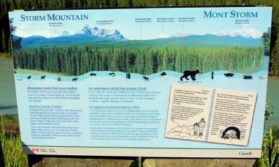
Mountains create their own weather
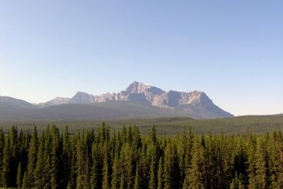
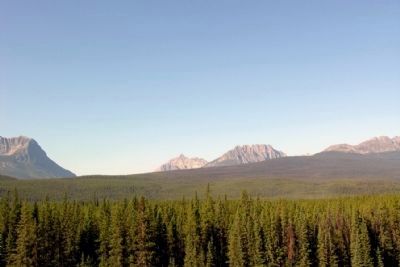
As winds swirl around and rise above these massive barriers, clouds build up and bring the rain and snowstorms for which Storm Mountain was named.
Travellers Converge in Valleys
Vermilion Pass provides a vital low-elevation travel route through the mountains of the Continental Divide. Wild animals have long used these valley pathways to find seasonal food sources and new home ranges. People have also used these valley routes for thousands of years.
Now many animals risk death when they must travel along and across our roads and railways. Other animals, like lynx and wolverine, avoid busy highways altogether, limiting their ability to find new habitats and mates.
(Journal Entry)
August 16
Yesterday we hiked up to Stanley Glacier in Kootenay National Park.
We took the Trans-Canada Highway to get there. Grandpa says the fences and wildlife overpasses work pretty well, but you still have to watch out for animals on the roads.
At the end of the trail we saw a marmot and heard a big chunk of ice fall off the glacier. Grandpa said the glacier is a lot smaller now than it was when he was my age. I hope there will still be glaciers and wildlife here when I’m older.
FRENCH INSCRIPTION
Les montagnes créent leur propre climat
Sous l′effet des vents qui soufflent et qui s′élèvent de ces murs massifs, des nuages s′accumulent et amènent la pluie et les tempêtes de neige qui ont valu son nom à cette montagne (« storm » signifie tempête en français).
Les voyageurs se retouvent dans les vallées
Le col Vermilion offre un couloir de déplacement à basse altitude essentiel &agravae; quiconque souhaite traverser les montagnes de la Ligne de partage des eaux. Les animaux savuages empruntent depuis longtemps les corridors de ces vallées pour trouver de la nourriture en saison et de nouveaux territoires. L′étre humain parcourt aussi ces routes depuis des milliers d′années.
Aujourd′hui, les animaux sont nombreux à risquer la mort parce qu′ils doivent longer ou traverser nos routes et nos voies ferrées. D′autres animaux, comme le lynx et le carcajou, préfèrent éviter complètement les routes achalandées, ce qui restreint le choix de nouvelles parcelles d′habitat et de nouveaux partenaires.
(Entrée de Journal)
16 août
Hier nous avans grimpé jusqu′au glacier Stanley, dans le parc national Kootenay.
Nous avons dû emprunter la Transcanadienne pour nous y rendre. Grand-papa dit que les clôtures et les passerelles pour animaux sauvages fonctionnent assez bien, mais qu′il faut tout de même faire attention aux animaux sur toutes les routes.
À la fin du sentier, nous avons vu une marmotte et nous avons entendu un gros bloc de glace se détacher du glacier. Grand-papa a dit que le glacier est beaucoup plus petit maintenant que quand il avait mon âge. J′espère qu′il y aura encore des glaciers et des animaux sauvages quand je seral grande.
Erected by Parks Canada.
Topics. This historical marker is listed in this topic list: Natural Features.
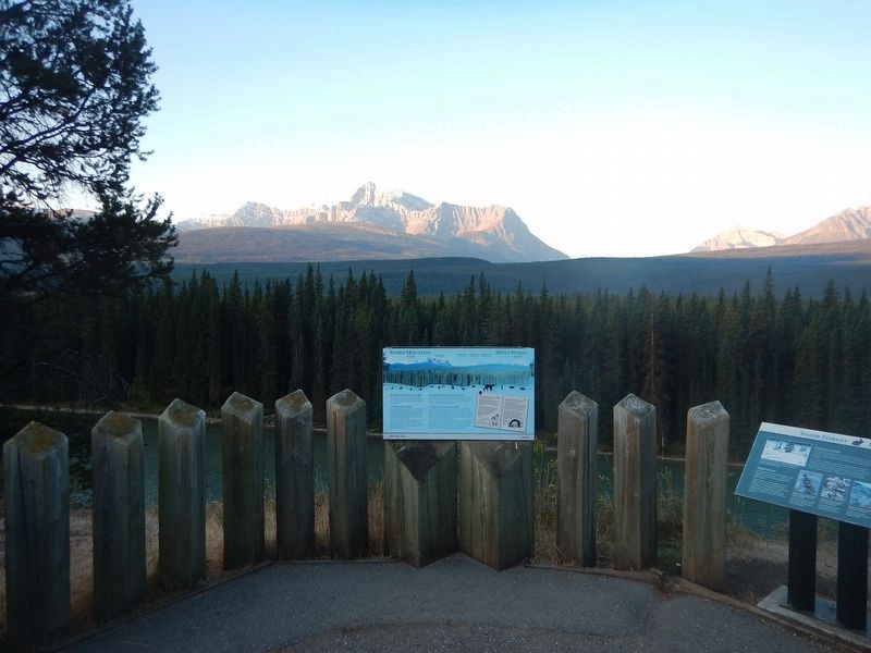
Location. 51° 16.923′ N, 115° 56.656′ W. Marker is near Castle Junction, Alberta, in Banff National Park. Marker is on Bow Valley Parkway (Provincial Highway 1A) 2.4 kilometers west of Banff Windermere Parkway, on the right when traveling east. Marker is located at the Storm Mountain Viewpoint on the south side of the parkway. Touch for map. Marker is in this post office area: Castle Junction AB T1L 1B5, Canada. Touch for directions.
Other nearby markers. At least 3 other markers are within 13 kilometers of this marker, measured as the crow flies. Castle Mountain Internment Camp (approx. 1.9 kilometers away); Castle Camp (approx. 1.9 kilometers away); Era of the Automobile / L'ère de l'automobile (approx. 13 kilometers away).
Credits. This page was last revised on January 23, 2022. It was originally submitted on May 4, 2015, by Duane Hall of Abilene, Texas. This page has been viewed 627 times since then and 54 times this year. Photos: 1. submitted on May 4, 2015, by Duane Hall of Abilene, Texas. 2. submitted on September 24, 2017, by Kevin Craft of Bedford, Quebec. 3, 4, 5. submitted on May 4, 2015, by Duane Hall of Abilene, Texas.


