Model in Stewart County, Tennessee — The American South (East South Central)
Fort Henry
Feb. 6, 1862
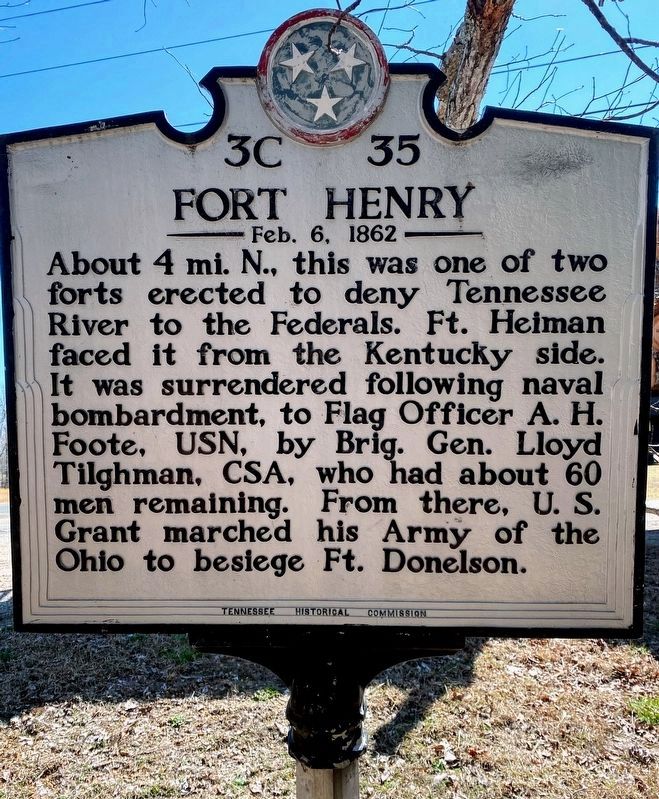
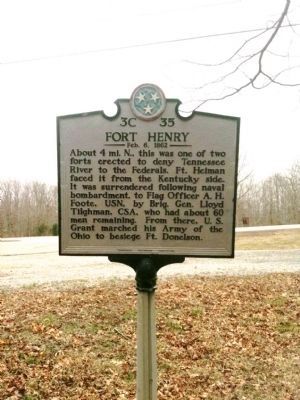
About 4 mi. N., this was one of two forts erected to deny Tennessee River to the Federals. Ft. Heiman faced it from the Kentucky side. It was surrendered following naval bombardment, to Flag Officer A.H. Foote, USN, by Brig. Gen. Lloyd Tilghman, CSA, who had about 60 men remaining. From there, U.S. Grant marched his Army of the Ohio to besiege Ft. Donelson.
Erected by Tennessee Historical Commission. (Marker Number 3C 35.)
Topics and series. This historical marker is listed in these topic lists: Forts and Castles • War, US Civil. In addition, it is included in the Former U.S. Presidents: #18 Ulysses S. Grant, and the Tennessee Historical Commission series lists.
Location. 36° 27.38′ N, 88° 0.812′ W. Marker is in Model, Tennessee, in Stewart County. Marker is at the intersection of Donelson Pkwy (U.S. 79) and Fort Henry Road, on the right when traveling west on Donelson Pkwy. Marker is located in the Land Between the Lakes National Recreation Area. Touch for map. Marker is in this post office area: Dover TN 37058, United States of America. Touch for directions.
Other nearby markers. At least 8 other markers are within 4 miles of this marker, measured as the crow flies. Advance On Fort Donelson (approx. 3.4 miles away); Site of Fort Henry (approx. 3˝ miles away); a different marker also named Fort Henry (approx. 3˝ miles away); Scott Fitzhugh Bridge Pavilion (approx. 3.7 miles away); Prelude to Johnsonville (approx. 3.7 miles away); Forrest at Paris Landing (approx. 3.8 miles away); An Unfinished Fort (approx. 3.8 miles away in Kentucky); That Devil Forrest (approx. 3.8 miles away).
Related markers. Click here for a list of markers that are related to this marker. Fort Henry by markers.
Also see . . . Fort Henry - Civil War Tennessee. (Submitted on July 31, 2009, by Bill Coughlin of Woodland Park, New Jersey.)
Credits. This page was last revised on May 11, 2021. It was originally submitted on July 31, 2009, by Bill Coughlin of Woodland Park, New Jersey. This page has been viewed 1,683 times since then and 20 times this year. Last updated on May 5, 2015, by J. Makali Bruton of Accra, Ghana. Photos: 1. submitted on May 10, 2021, by Shane Oliver of Richmond, Virginia. 2. submitted on March 18, 2011, by Currey Russell of Indian Mound, Tennessee. 3. submitted on April 14, 2012, by Ken Smith of Milan, Tennessee. 4. submitted on July 31, 2009, by Bill Coughlin of Woodland Park, New Jersey. • Andrew Ruppenstein was the editor who published this page.


