Near Washington in Rappahannock County, Virginia — The American South (Mid-Atlantic)
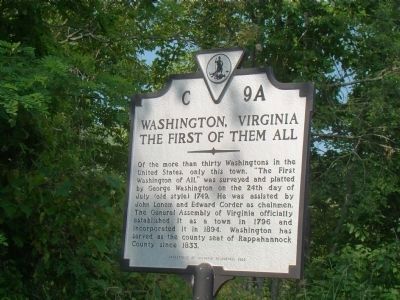
Washington, Virginia
The First of Them All
Erected 1996 by Department of Historic Resources. (Marker Number C-9A.)
Topics and series. This historical marker is listed in these topic lists: Colonial Era • Political Subdivisions. In addition, it is included in the Virginia Department of Historic Resources (DHR) series list. A significant historical year for this entry is 1749.
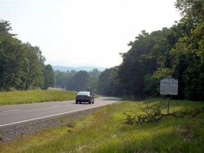
Location. 38° 42.843′ N, 78° 8.837′ W. Marker is near Washington, Virginia, in Rappahannock County. Marker is at the intersection of Lee Highway (U.S. 211) and Library Road (County Route 683), on the right when traveling west on Lee Highway. Touch for map. Marker is in this post office area: Washington VA 22747, United States of America. Touch for directions.
Other nearby markers. At least 8 other markers are within walking distance of this marker. Charles C. Nordendorf (within shouting distance of this marker); The Rappahannock Old Guard (within shouting distance of this marker); Union Army of Virginia 2nd (Banks's) Corps Encampment (within shouting distance of this marker); Rappahannock County in the Civil War (within shouting distance of this marker); Union Army of Virginia (within shouting distance of this marker); Rappahannock People Before and During the Civil War (within shouting distance of this marker); Banks's Camp (within shouting distance of this marker); A Tale of Two Mills (approx. 0.2 miles away). Touch for a list and map of all markers in Washington.
Credits. This page was last revised on June 16, 2016. It was originally submitted on June 11, 2008, by J. J. Prats of Powell, Ohio. This page has been viewed 1,112 times since then and 18 times this year. Photos: 1, 2. submitted on June 11, 2008, by J. J. Prats of Powell, Ohio.

