Hendersonville in Sumner County, Tennessee — The American South (East South Central)
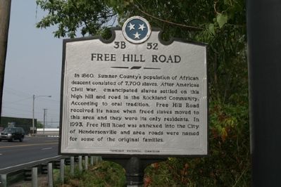
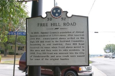
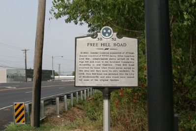
Free Hill Road
Erected by Tennessee Historical Commission. (Marker Number 3B 52.)
Topics and series. This historical marker is listed in these topic lists: African Americans • Roads & Vehicles • War, US Civil. In addition, it is included in the Tennessee Historical Commission series list. A significant historical year for this entry is 1860.
Location. 36° 18.25′ N, 86° 38.917′ W. Marker is in Hendersonville, Tennessee, in Sumner County. Marker is at the intersection of U.S. 31E and Free Hill Road, on the right when traveling west on U.S. 31E. Touch for map. Marker is in this post office area: Hendersonville TN 37075, United States of America. Touch for directions.
Other nearby markers. At least 8 other markers are within 3 miles of this marker, measured as the crow flies. Historic Monthaven (approx. 0.9 miles away); Davidson County / Sumner County (approx. 1.4 miles away); Confederate Memorial at First Presbyterian Church (approx. 1.7 miles away); William Henderson (approx. 1.7 miles away); Taylor Swift (approx. 2.1 miles away); Old Hickory Powder Plant (approx. 2.2 miles away); Hazel Path Mansion (approx. 2.3 miles away); Rock Castle (approx. 2.4 miles away). Touch for a list and map of all markers in Hendersonville.
Credits. This page was last revised on June 16, 2016. It was originally submitted on September 9, 2007, by R. E. Smith of Nashville, Tennessee. This page has been viewed 2,745 times since then and 92 times this year. Last updated on May 5, 2015, by J. Makali Bruton of Accra, Ghana. Photos: 1, 2, 3. submitted on September 9, 2007, by R. E. Smith of Nashville, Tennessee. • Bill Pfingsten was the editor who published this page.


