Northeast Oklahoma City in Oklahoma County, Oklahoma — The American South (West South Central)
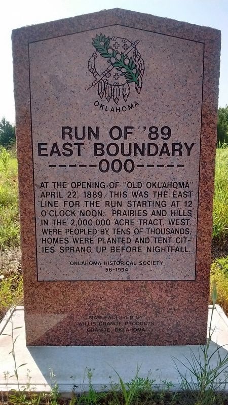
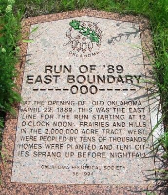
Run of '89 East Boundary
-----000-----
Erected 1994 by Oklahoma Historical Society. (Marker Number 56.)
Topics and series. This historical marker is listed in this topic list: Settlements & Settlers. In addition, it is included in the Oklahoma Historical Society series list. A significant historical date for this entry is April 22, 1832.
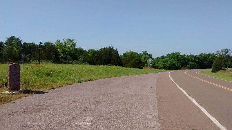
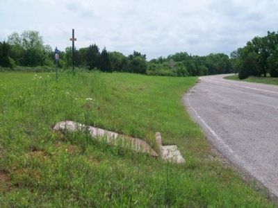
Location. 35° 39.832′ N, 97° 14.901′ W. Marker is in Oklahoma City, Oklahoma, in Oklahoma County. It is in Northeast Oklahoma City. Marker is on Danforth Road (State Highway 66) 0.1 miles west of Indian Meridian Road, on the left when traveling west. Marker is at a roadside pulloff about three miles west of Luther. Touch for map. Marker is in this post office area: Luther OK 73054, United States of America. Touch for directions.
Other nearby markers. At least 8 other markers are within 5 miles of this marker, measured as the crow flies. Rock of Ages (approx. 1˝ miles away); Paul McCartney (approx. 2.8 miles away); Veterans Memorial (approx. 3.4 miles away); Washington Irving's Camp (approx. 3.9 miles away); a different marker also named Washington Irving's Camp (approx. 3.9 miles away); Tuton's Drugstore (approx. 4.3 miles away); Route 66 (approx. 4.4 miles away); Beverly and Karl White (approx. 4.4 miles away).
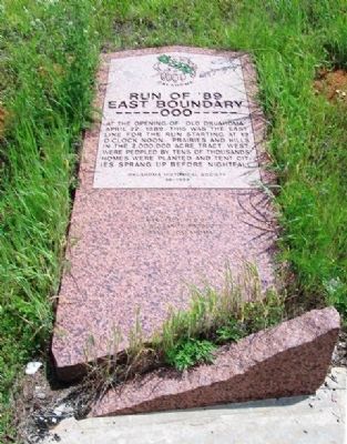
More about this marker. As of the photo date, the marker is broken and is lying on the ground.
Also see . . .
1. Land Run of 1889 at Encyclopedia of Oklahoma. (Submitted on May 8, 2015, by William Fischer, Jr. of Scranton, Pennsylvania.)
2. The Oklahoma Land Run. (Submitted on May 8, 2015, by William Fischer, Jr. of Scranton, Pennsylvania.)
Credits. This page was last revised on February 16, 2023. It was originally submitted on May 8, 2015, by William Fischer, Jr. of Scranton, Pennsylvania. This page has been viewed 631 times since then and 50 times this year. Photos: 1, 2. submitted on July 15, 2018, by Tom Bosse of Jefferson City, Tennessee. 3, 4, 5. submitted on May 8, 2015, by William Fischer, Jr. of Scranton, Pennsylvania.
