Pike Island in Saint Paul in Ramsey County, Minnesota — The American Midwest (Upper Plains)
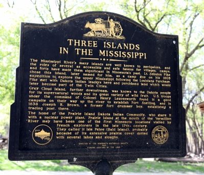
Three Islands in the Mississippi
Grey Cloud Island, further downstream, was known to the Dakota people for its supernatural woods and its great variety of wild fruit. U. S. troops under the command of Colonel Henry Leavenworth found it a good campsite on their way up the river to establish Fort Snelling, and in 1838 Joseph R. Brown, a former fort drummer boy, established a trading post there.
The home of the Prairie Island Dakota Indian Community, who share it with a nuclear power plant, Prairie Island at the mouth of the Vermillion River may have been one of the first Minnesota locations visited by French explorers in the late 17th century. They called it Isle Pelee (Bald Island), probably because of its extensive prairie cover dotted with several lakes and sloughs.
Erected 1989 by the Minnesota Historical Society. Funding provided by the LCMR.
Topics. This historical marker is listed in these topic lists: Exploration • Native Americans • Waterways & Vessels. A significant historical year for this entry is 1805.
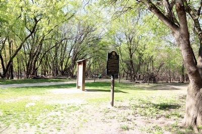
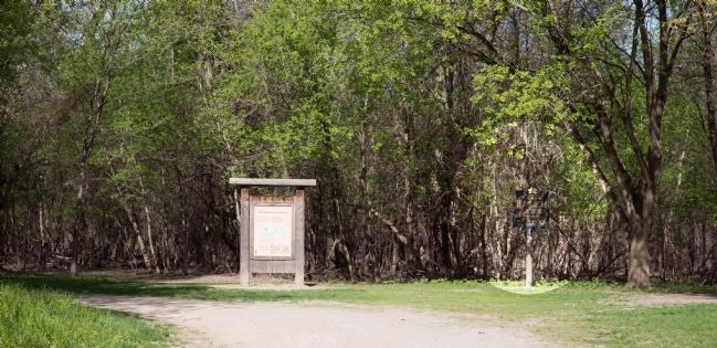
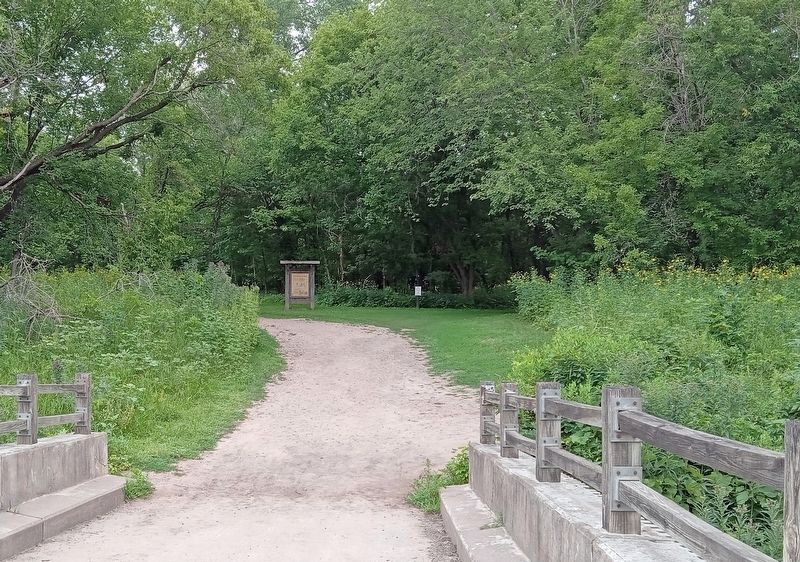
Location. Marker has been permanently removed. It was located near 44° 53.455′ N, 93° 10.62′ W. Marker was in Saint Paul, Minnesota, in Ramsey County. It was on Pike Island. Marker could be reached from Tower Avenue in Minneapolis near Bloomington Road (MSP International Airport). Marker was on Pike Island in St. Paul, but can only be reached from Minneapolis, near the airport. It was just across the Minnesota Valley State Trail footbridge that is the only bridge to Pike Island. It was in Fort Snelling State Park. But the closest parking is at Historic Fort Snelling itself, which is not part of the state park. Walk past the fort’s entrance and continue down the steep footpath to a five-way intersection. Take the second path counting from your right and you will be at the footbridge shortly. Touch for map. Marker was at or near this postal address: 200 Tower Ave, Saint Paul MN 55111, United States of America.
We have been informed that this sign or monument is no longer there and will not be replaced. This page is an archival view of what was.
Other nearby markers.
At least 8 other markers are within walking distance of this location. Land Between Two Rivers (a few steps from this marker); River Valleys Take Shape / A Strategic Advantage / Making a Safe Landing (about 600 feet away, measured in a direct line); Wokiksuye K'a Woyuonihan (approx. ¼ mile away); Welcome to Fort Snelling State Park / A Moving Obstacle (approx. ¼ mile away); Three Sisters Garden (approx. ¼ mile away); St. Peters Agency (approx. 0.3 miles away); Executions at Fort Snelling (approx. 0.3 miles away); Imprisonment of Dakota Families (approx. 0.3 miles away).
Regarding Three Islands in the Mississippi. Marker is on Pike Island. Upper and Lower Grey Could Islands can be reached from Cottage Grove. Prairie Island is the furthest downstream, just before Red Wing.
Credits. This page was last revised on August 19, 2023. It was originally submitted on May 10, 2015, by J. J. Prats of Powell, Ohio. This page has been viewed 1,019 times since then and 35 times this year. Last updated on August 14, 2023, by McGhiever of Minneapolis, Minnesota. Photos: 1, 2, 3. submitted on May 10, 2015, by J. J. Prats of Powell, Ohio. 4. submitted on August 14, 2023, by McGhiever of Minneapolis, Minnesota. • Bill Pfingsten was the editor who published this page.


